Distance to Cowell, Arkansas

Calculating Your Route
Just a moment while we process your request...
Location Information
-
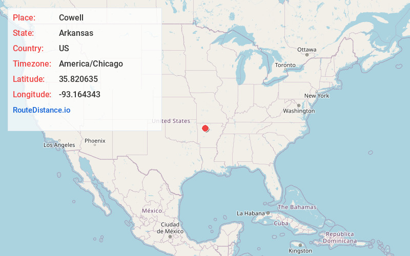
Full AddressCowell, AR 72856
-
Coordinates35.820635, -93.1643426
-
LocationArkansas , US
-
TimezoneAmerica/Chicago
-
Current Local Time8:59:17 PM America/ChicagoWednesday, June 25, 2025
-
Page Views0
Nearby Places
Found 10 places within 50 miles

Deer
2.6 mi
4.2 km
Deer, AR
Get directions

Limestone
7.1 mi
11.4 km
Limestone, AR 72839
Get directions
Nail
7.2 mi
11.6 km
Nail, AR 72628
Get directions
Wayton
7.6 mi
12.2 km
Wayton, AR 72628
Get directions

Pelsor
7.9 mi
12.7 km
Pelsor, AR 72837
Get directions

Mt Judea
9.1 mi
14.6 km
Mt Judea, AR
Get directions

Vendor
10.0 mi
16.1 km
Vendor, AR 72683
Get directions
Swain
10.0 mi
16.1 km
Swain, AR 72628
Get directions

Parthenon
10.2 mi
16.4 km
Parthenon, AR 72666
Get directions

Fort Douglas
10.4 mi
16.7 km
Fort Douglas, AR 72839
Get directions
Location Links
Local Weather
Weather Information
Coming soon!
Location Map
Static map view of Cowell, Arkansas
Browse Places by Distance
Places within specific distances from Cowell
Short Distances
Long Distances
Click any distance to see all places within that range from Cowell. Distances shown in miles (1 mile ≈ 1.61 kilometers).