Distance to Crawford, Oklahoma

Calculating Your Route
Just a moment while we process your request...
Location Information
-
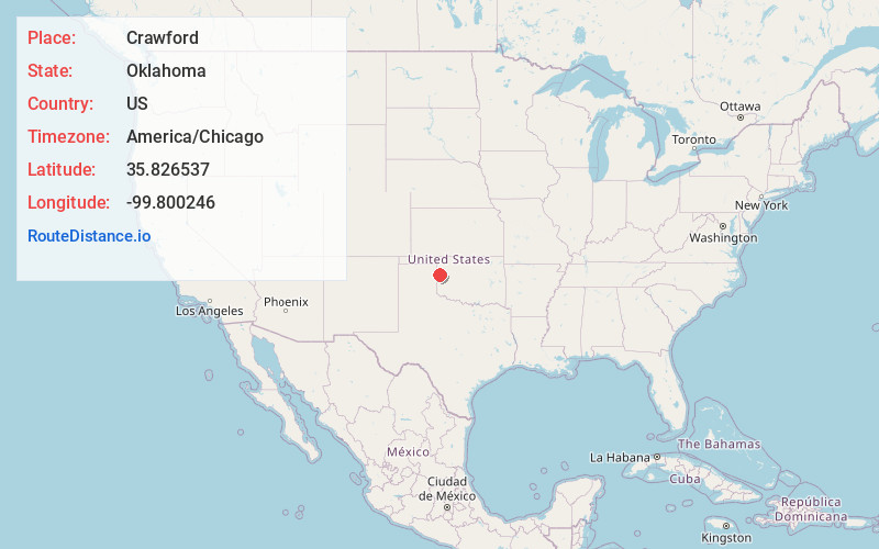
Full AddressCrawford, OK 73638
-
Coordinates35.8265369, -99.8002457
-
LocationCrawford , Oklahoma , US
-
TimezoneAmerica/Chicago
-
Current Local Time10:20:09 PM America/ChicagoThursday, June 19, 2025
-
Page Views1
About Crawford
Crawford is a rural unincorporated community located in Roger Mills County, Oklahoma, United States. The community's post office was established on September 12, 1902, and it currently uses the ZIP Code 73638. Crawford is believed to have been named after the Louis Crawford ranch.


Nearby Places
Found 10 places within 50 miles

Durham
7.0 mi
11.3 km
Durham, OK 73642
Get directions

Mackie
9.7 mi
15.6 km
Mackie, OK 73660
Get directions

Reydon
13.7 mi
22.0 km
Reydon, OK 73660
Get directions
Strong City
15.6 mi
25.1 km
Strong City, OK 73628
Get directions

Cheyenne
16.4 mi
26.4 km
Cheyenne, OK 73628
Get directions
Dreyfoos
17.5 mi
28.2 km
Dreyfoos, TX 79014
Get directions

Arnett
21.4 mi
34.4 km
Arnett, OK
Get directions
Dempsey
21.4 mi
34.4 km
Dempsey, OK 73660
Get directions
Herring
21.8 mi
35.1 km
Herring, OK 73650
Get directions
Rosehill
22.5 mi
36.2 km
Rosehill, OK 73628
Get directions
Location Links
Local Weather
Weather Information
Coming soon!
Location Map
Static map view of Crawford, Oklahoma
Browse Places by Distance
Places within specific distances from Crawford
Short Distances
Long Distances
Click any distance to see all places within that range from Crawford. Distances shown in miles (1 mile ≈ 1.61 kilometers).