Distance to Crooked Tree, Ohio

Calculating Your Route
Just a moment while we process your request...
Location Information
-
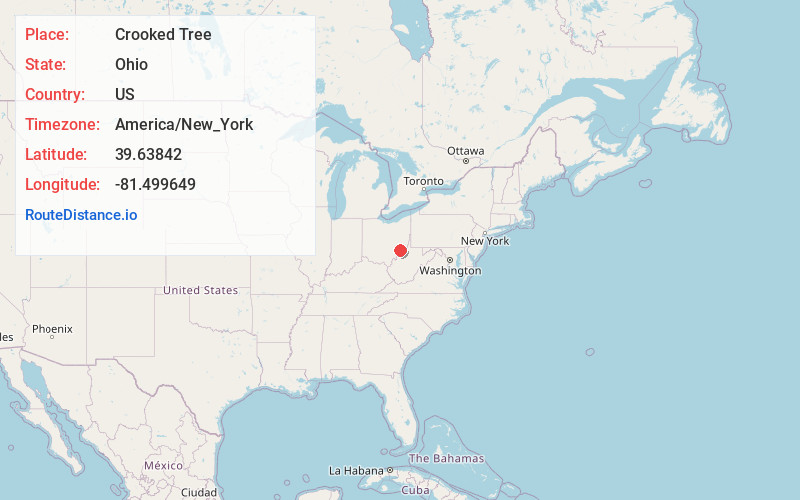
Full AddressCrooked Tree, OH 45727
-
Coordinates39.63842, -81.499649
-
LocationCrooked Tree , Ohio , US
-
TimezoneAmerica/New_York
-
Current Local Time9:46:45 AM America/New_YorkTuesday, June 24, 2025
-
Page Views0
About Crooked Tree
Crooked Tree is an unincorporated community in Jackson Township, Noble County, Ohio, United States. Crooked Tree is located on Ohio State Route 339, 2 miles southwest of Dexter City.
Nearby Places
Found 10 places within 50 miles

Dexter City
2.0 mi
3.2 km
Dexter City, OH
Get directions
South Olive
2.2 mi
3.5 km
South Olive, OH 43724
Get directions

Macksburg
2.3 mi
3.7 km
Macksburg, OH 45746
Get directions
Honesty
3.6 mi
5.8 km
Honesty, OH 45746
Get directions

Dungannon
4.2 mi
6.8 km
Dungannon, OH 45715
Get directions

Lowell
7.5 mi
12.1 km
Lowell, OH 45744
Get directions

Caldwell
7.6 mi
12.2 km
Caldwell, OH 43724
Get directions

Lower Salem
7.7 mi
12.4 km
Lower Salem, OH 45745
Get directions
Slaters
9.0 mi
14.5 km
Slaters, Noble Township, OH 43724
Get directions
Hackney
9.5 mi
15.3 km
Hackney, Center Township, OH 45715
Get directions
Location Links
Local Weather
Weather Information
Coming soon!
Location Map
Static map view of Crooked Tree, Ohio
Browse Places by Distance
Places within specific distances from Crooked Tree
Short Distances
Long Distances
Click any distance to see all places within that range from Crooked Tree. Distances shown in miles (1 mile ≈ 1.61 kilometers).