Distance to Lower Salem, Ohio

Calculating Your Route
Just a moment while we process your request...
Location Information
-
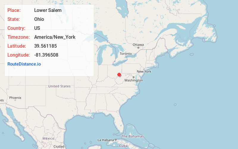
Full AddressLower Salem, OH 45745
-
Coordinates39.5611846, -81.3965084
-
LocationLower Salem , Ohio , US
-
TimezoneAmerica/New_York
-
Current Local Time6:25:19 PM America/New_YorkWednesday, June 18, 2025
-
Page Views0
About Lower Salem
Lower Salem is a village in Washington County, Ohio, United States. The population was 75 at the 2020 census.


Nearby Places
Found 10 places within 50 miles

Macksburg
5.9 mi
9.5 km
Macksburg, OH 45746
Get directions

Lowell
6.2 mi
10.0 km
Lowell, OH 45744
Get directions

Devola
7.5 mi
12.1 km
Devola, OH 45750
Get directions

Dexter City
7.8 mi
12.6 km
Dexter City, OH
Get directions

Marietta
10.5 mi
16.9 km
Marietta, OH 45750
Get directions

Williamstown
11.4 mi
18.3 km
Williamstown, WV 26187
Get directions

Beverly
13.0 mi
20.9 km
Beverly, OH 45715
Get directions

Reno
13.0 mi
20.9 km
Reno, OH
Get directions

Waterford
13.1 mi
21.1 km
Waterford, OH 45786
Get directions

Caldwell
14.4 mi
23.2 km
Caldwell, OH 43724
Get directions
Location Links
Local Weather
Weather Information
Coming soon!
Location Map
Static map view of Lower Salem, Ohio
Browse Places by Distance
Places within specific distances from Lower Salem
Short Distances
Long Distances
Click any distance to see all places within that range from Lower Salem. Distances shown in miles (1 mile ≈ 1.61 kilometers).