Distance to Dexter City, Ohio

Calculating Your Route
Just a moment while we process your request...
Location Information
-
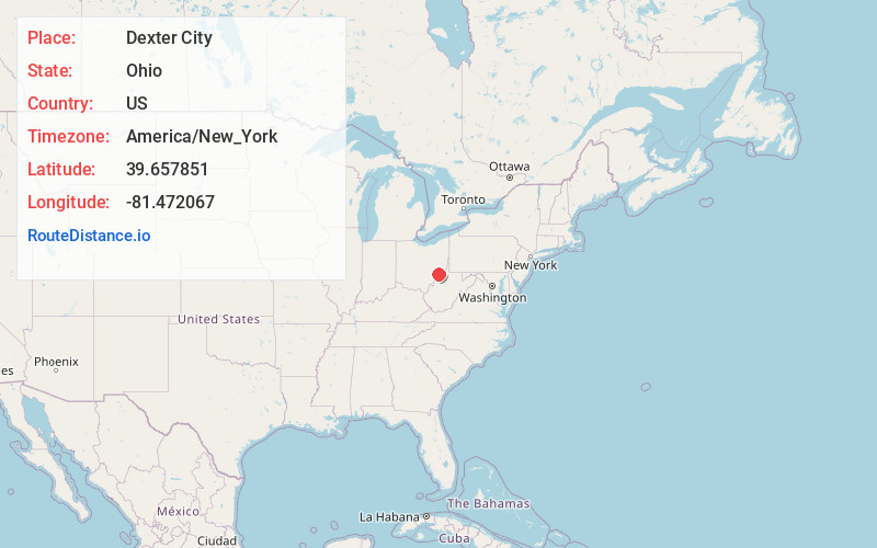
Full AddressDexter City, OH
-
Coordinates39.657851, -81.4720666
-
LocationDexter City , Ohio , US
-
TimezoneAmerica/New_York
-
Current Local Time9:49:16 AM America/New_YorkThursday, June 19, 2025
-
Page Views0
About Dexter City
Dexter City is a village in Noble County, Ohio, United States, along the West Fork of Duck Creek. The population was 81 at the 2020 census.
Nearby Places
Found 10 places within 50 miles

Macksburg
2.0 mi
3.2 km
Macksburg, OH 45746
Get directions

Caldwell
6.7 mi
10.8 km
Caldwell, OH 43724
Get directions

Lowell
9.0 mi
14.5 km
Lowell, OH 45744
Get directions

Belle Valley
10.2 mi
16.4 km
Belle Valley, OH 43717
Get directions

Beverly
11.7 mi
18.8 km
Beverly, OH 45715
Get directions

Waterford
12.0 mi
19.3 km
Waterford, OH 45786
Get directions
Summerfield
12.0 mi
19.3 km
Summerfield, OH 43788
Get directions

Devola
12.7 mi
20.4 km
Devola, OH 45750
Get directions

Lewisville
15.4 mi
24.8 km
Lewisville, OH 43754
Get directions
Cumberland
16.6 mi
26.7 km
Cumberland, OH 43732
Get directions
Location Links
Local Weather
Weather Information
Coming soon!
Location Map
Static map view of Dexter City, Ohio
Browse Places by Distance
Places within specific distances from Dexter City
Short Distances
Long Distances
Click any distance to see all places within that range from Dexter City. Distances shown in miles (1 mile ≈ 1.61 kilometers).