Distance to Croydon, Utah

Calculating Your Route
Just a moment while we process your request...
Location Information
-
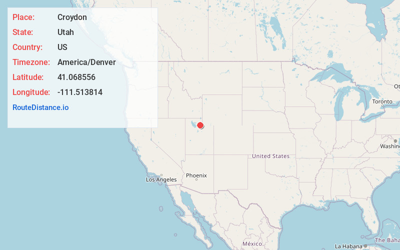
Full AddressCroydon, UT 84018
-
Coordinates41.0685562, -111.5138141
-
LocationCroydon , Utah , US
-
TimezoneAmerica/Denver
-
Current Local Time11:07:53 PM America/DenverThursday, June 19, 2025
-
Page Views0
About Croydon
Croydon is an unincorporated community in northeastern Morgan County, Utah, United States. It is part of the Ogden–Clearfield, Utah Metropolitan Statistical Area.


Nearby Places
Found 10 places within 50 miles

Devils Slide
1.9 mi
3.1 km
Devils Slide, Utah 84050
Get directions

Henefer
3.7 mi
6.0 km
Henefer, UT
Get directions

Taggarts
4.1 mi
6.6 km
Taggarts, UT 84050
Get directions

Echo
7.3 mi
11.7 km
Echo, UT
Get directions

Como Springs
7.7 mi
12.4 km
Como Springs, UT 84050
Get directions

Morgan
8.8 mi
14.2 km
Morgan, UT 84050
Get directions
Richville
10.1 mi
16.3 km
Richville, UT 84050
Get directions

Porterville
10.5 mi
16.9 km
Porterville, UT 84050
Get directions
Emory
11.0 mi
17.7 km
Emory, UT 84061
Get directions
Milton
11.3 mi
18.2 km
Milton, UT 84050
Get directions
Location Links
Local Weather
Weather Information
Coming soon!
Location Map
Static map view of Croydon, Utah
Browse Places by Distance
Places within specific distances from Croydon
Short Distances
Long Distances
Click any distance to see all places within that range from Croydon. Distances shown in miles (1 mile ≈ 1.61 kilometers).