Distance to Cuba, New Mexico

Calculating Your Route
Just a moment while we process your request...
Location Information
-
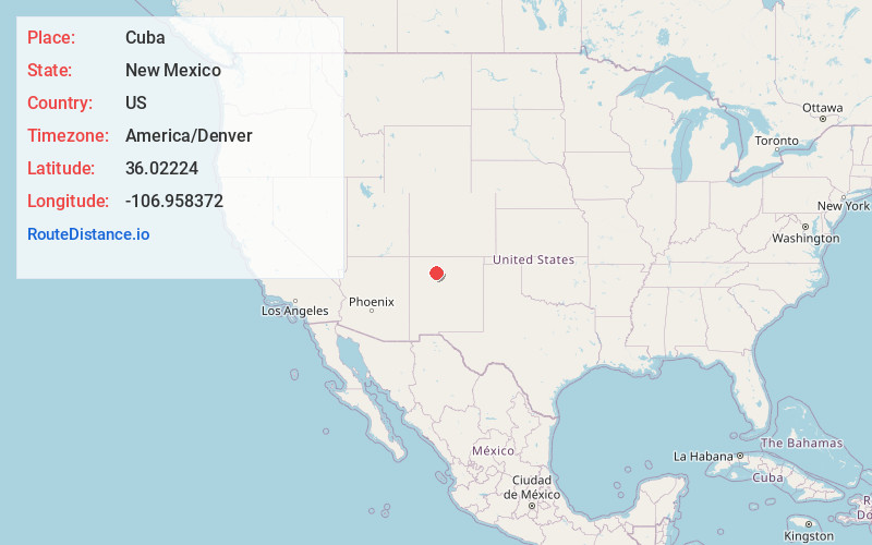
Full AddressCuba, NM 87013
-
Coordinates36.0222403, -106.9583721
-
LocationCuba , New Mexico , US
-
TimezoneAmerica/Denver
-
Current Local Time11:44:58 AM America/DenverFriday, May 30, 2025
-
Page Views0
About Cuba
Cuba is a village in Sandoval County, New Mexico, United States. As of the 2010 census, the village population was 735. It is part of the Albuquerque Metropolitan Statistical Area.


Nearby Places
Found 10 places within 50 miles

La Placita
0.9 mi
1.4 km
La Placita, NM 87013
Get directions

La Jara
4.6 mi
7.4 km
La Jara, NM 87027
Get directions
Deer Lake
5.8 mi
9.3 km
Deer Lake, NM 87013
Get directions
Laventana
13.5 mi
21.7 km
Laventana, NM 87013
Get directions
Penistaja
15.1 mi
24.3 km
Penistaja, NM 87013
Get directions

Gallina
16.7 mi
26.9 km
Gallina, NM
Get directions

San Antonio Hot Spring
18.4 mi
29.6 km
San Antonio Hot Spring, New Mexico 87025
Get directions

Lindrith
20.1 mi
32.3 km
Lindrith, NM 87029
Get directions

Sulphur Springs
20.7 mi
33.3 km
Sulphur Springs, NM 87025
Get directions

Jemez Springs
23.0 mi
37.0 km
Jemez Springs, NM 87025
Get directions
Location Links
Local Weather
Weather Information
Coming soon!
Location Map
Static map view of Cuba, New Mexico
Browse Places by Distance
Places within specific distances from Cuba
Short Distances
Long Distances
Click any distance to see all places within that range from Cuba. Distances shown in miles (1 mile ≈ 1.61 kilometers).