Distance to Cullom, Nebraska

Calculating Your Route
Just a moment while we process your request...
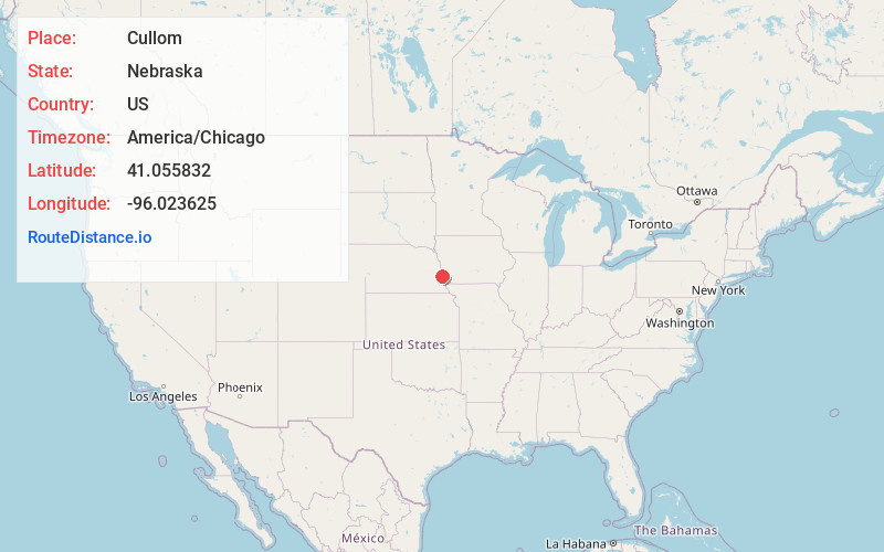
Location Information
-
Full AddressCullom, NE 68048
-
Coordinates41.0558321, -96.0236245
-
LocationCullom , Nebraska , US
-
TimezoneAmerica/Chicago
-
Current Local Time10:20:31 PM America/ChicagoThursday, June 19, 2025
-
Page Views0
Nearby Places
Found 10 places within 50 miles

Cedar Creek
4.2 mi
6.8 km
Cedar Creek, NE 68037
Get directions

Richfield
4.5 mi
7.2 km
Richfield, NE
Get directions
La Platte
5.4 mi
8.7 km
La Platte, NE 68123
Get directions
Oreapolis
5.5 mi
8.9 km
Oreapolis, Plattsmouth Precinct, NE 68048
Get directions
Springfield
6.0 mi
9.7 km
Springfield, NE 68059
Get directions
Rumsey
6.5 mi
10.5 km
Rumsey, Bellevue Second II Precinct, NE 68133
Get directions

Papillion
6.9 mi
11.1 km
Papillion, NE
Get directions
Gilmore
7.2 mi
11.6 km
Gilmore, Bellevue Second I Precinct, NE 68123
Get directions

Offutt AFB
7.4 mi
11.9 km
Offutt AFB, NE
Get directions

Louisville
7.9 mi
12.7 km
Louisville, NE 68037
Get directions
Location Links
Local Weather
Weather Information
Coming soon!
Location Map
Static map view of Cullom, Nebraska
Browse Places by Distance
Places within specific distances from Cullom
Short Distances
Long Distances
Click any distance to see all places within that range from Cullom. Distances shown in miles (1 mile ≈ 1.61 kilometers).