Distance to Cundiff, Kentucky

Calculating Your Route
Just a moment while we process your request...
Location Information
-
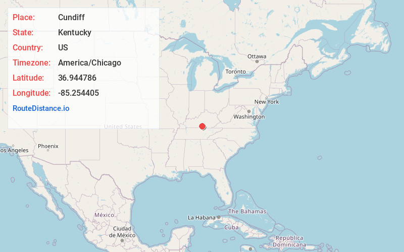
Full AddressCundiff, KY 42728
-
Coordinates36.9447857, -85.2544046
-
LocationCundiff , Kentucky , US
-
TimezoneAmerica/Chicago
-
Current Local Time11:13:17 PM America/ChicagoFriday, June 13, 2025
-
Page Views0
About Cundiff
Cundiff is an unincorporated community in Adair County, Kentucky, United States. Its elevation is 968 feet.
Previously known as Melson Ridge for a local hill named for the Melson family, Cundiff was likely named for Rester C. Cundiff, postmaster when the post office was opened in 1925.
Nearby Places
Found 10 places within 50 miles

Crocus
3.4 mi
5.5 km
Crocus, KY 42629
Get directions
Chance
4.4 mi
7.1 km
Chance, KY 42728
Get directions
Ribbon
4.5 mi
7.2 km
Ribbon, KY 42629
Get directions
Amandaville
4.7 mi
7.6 km
Amandaville, KY 42717
Get directions
Old Olga
4.9 mi
7.9 km
Old Olga, KY 42629
Get directions
Olga
5.2 mi
8.4 km
Olga, KY 42629
Get directions
Helm
6.6 mi
10.6 km
Helm, KY 42629
Get directions
Joppa
7.4 mi
11.9 km
Joppa, KY 42728
Get directions
Rose Crossroads
7.7 mi
12.4 km
Rose Crossroads, KY 42629
Get directions
Bakerton
8.0 mi
12.9 km
Bakerton, KY 42717
Get directions
Location Links
Local Weather
Weather Information
Coming soon!
Location Map
Static map view of Cundiff, Kentucky
Browse Places by Distance
Places within specific distances from Cundiff
Short Distances
Long Distances
Click any distance to see all places within that range from Cundiff. Distances shown in miles (1 mile ≈ 1.61 kilometers).