Distance to Curlew, Iowa

Calculating Your Route
Just a moment while we process your request...
Location Information
-
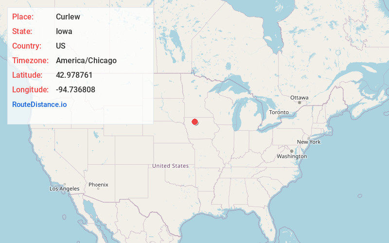
Full AddressCurlew, IA 50527
-
Coordinates42.9787614, -94.7368076
-
LocationCurlew , Iowa , US
-
TimezoneAmerica/Chicago
-
Current Local Time4:59:48 AM America/ChicagoSunday, June 22, 2025
-
Page Views0
About Curlew
Curlew is a city in Palo Alto County, Iowa, United States. The population was 37 at the time of the 2020 census.
Curlew originated in 1882 with the construction of the Des Moines and Fort Dodge Railroad in the area.
Nearby Places
Found 10 places within 50 miles

Mallard
4.0 mi
6.4 km
Mallard, IA 50562
Get directions
Ayrshire
6.4 mi
10.3 km
Ayrshire, IA 50515
Get directions
Plover
9.0 mi
14.5 km
Plover, IA
Get directions

Emmetsburg
9.6 mi
15.4 km
Emmetsburg, IA 50536
Get directions
Havelock
10.0 mi
16.1 km
Havelock, IA 50546
Get directions
Laurens
10.8 mi
17.4 km
Laurens, IA 50554
Get directions
Cylinder
12.1 mi
19.5 km
Cylinder, IA 50528
Get directions

Ruthven
13.2 mi
21.2 km
Ruthven, IA 51358
Get directions
Webb
14.1 mi
22.7 km
Webb, IA 51366
Get directions

West Bend
14.8 mi
23.8 km
West Bend, IA 50597
Get directions
Location Links
Local Weather
Weather Information
Coming soon!
Location Map
Static map view of Curlew, Iowa
Browse Places by Distance
Places within specific distances from Curlew
Short Distances
Long Distances
Click any distance to see all places within that range from Curlew. Distances shown in miles (1 mile ≈ 1.61 kilometers).