Distance to Mallard, Iowa

Calculating Your Route
Just a moment while we process your request...
Location Information
-
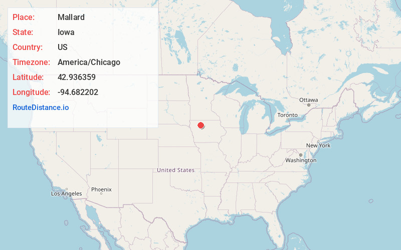
Full AddressMallard, IA 50562
-
Coordinates42.9363589, -94.6822021
-
LocationMallard , Iowa , US
-
TimezoneAmerica/Chicago
-
Current Local Time1:29:24 AM America/ChicagoSunday, June 22, 2025
-
Page Views0
About Mallard
Mallard is a city in Palo Alto County, Iowa, United States. The population was 257 at the time of the 2020 census.
Nearby Places
Found 10 places within 50 miles

Laurens
10.6 mi
17.1 km
Laurens, IA 50554
Get directions
Rolfe
11.6 mi
18.7 km
Rolfe, IA 50581
Get directions

West Bend
12.1 mi
19.5 km
West Bend, IA 50597
Get directions

Emmetsburg
12.2 mi
19.6 km
Emmetsburg, IA 50536
Get directions

Pocahontas
13.9 mi
22.4 km
Pocahontas, IA 50574
Get directions
Whittemore
15.8 mi
25.4 km
Whittemore, IA 50598
Get directions

Ruthven
17.2 mi
27.7 km
Ruthven, IA 51358
Get directions
Albert City
17.4 mi
28.0 km
Albert City, IA 50510
Get directions

Gilmore City
18.8 mi
30.3 km
Gilmore City, IA 50541
Get directions
Bode
20.4 mi
32.8 km
Bode, IA 50519
Get directions
Location Links
Local Weather
Weather Information
Coming soon!
Location Map
Static map view of Mallard, Iowa
Browse Places by Distance
Places within specific distances from Mallard
Short Distances
Long Distances
Click any distance to see all places within that range from Mallard. Distances shown in miles (1 mile ≈ 1.61 kilometers).