Distance to Curtis Crossing, Massachusetts

Calculating Your Route
Just a moment while we process your request...
Location Information
-
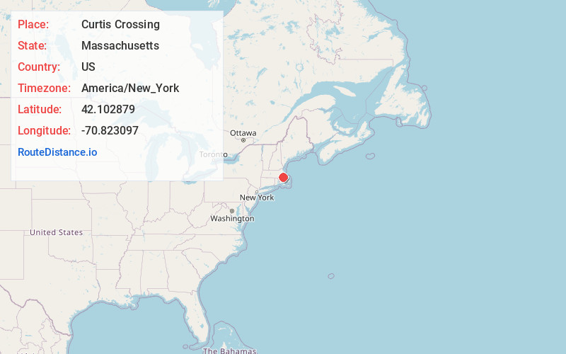
Full AddressCurtis Crossing, Hanover, MA 02339
-
Coordinates42.1028793, -70.8230971
-
LocationHanover , Massachusetts , US
-
TimezoneAmerica/New_York
-
Current Local Time11:24:07 AM America/New_YorkThursday, June 19, 2025
-
Page Views0
Nearby Places
Found 10 places within 50 miles

Hanover Center
1.3 mi
2.1 km
Hanover Center, Hanover, MA 02339
Get directions
South Hanover
1.4 mi
2.3 km
South Hanover, Hanover, MA 02339
Get directions

Hanover
1.6 mi
2.6 km
Hanover, MA 02339
Get directions

Pembroke
2.3 mi
3.7 km
Pembroke, MA
Get directions
Mercer Square
2.7 mi
4.3 km
Mercer Square, Hanover, MA 02339
Get directions
Camp Wampatuck
3.4 mi
5.5 km
Camp Wampatuck, Hanson, MA 02341
Get directions

Hanson
3.4 mi
5.5 km
Hanson, MA
Get directions
North Hanover
3.7 mi
6.0 km
North Hanover, Hanover, MA 02339
Get directions

Norwell
3.8 mi
6.1 km
Norwell, MA 02061
Get directions
Kings Landing
4.8 mi
7.7 km
Kings Landing, Norwell, MA 02061
Get directions
Location Links
Local Weather
Weather Information
Coming soon!
Location Map
Static map view of Curtis Crossing, Massachusetts
Browse Places by Distance
Places within specific distances from Curtis Crossing
Short Distances
Long Distances
Click any distance to see all places within that range from Curtis Crossing. Distances shown in miles (1 mile ≈ 1.61 kilometers).