Distance to Dabney, Kentucky

Calculating Your Route
Just a moment while we process your request...
Location Information
-
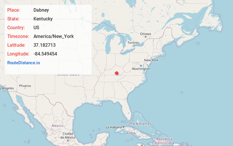
Full AddressDabney, KY 42503
-
Coordinates37.182713, -84.549454
-
LocationDabney , Kentucky , US
-
TimezoneAmerica/New_York
-
Current Local Time3:21:22 PM America/New_YorkMonday, June 2, 2025
-
Page Views0
About Dabney
Dabney is an unincorporated community in Pulaski County, Kentucky, United States. Dabney is located on Kentucky Route 39 7 miles north-northeast of Somerset.
The Dabney Post Office, which closed in the 1960s, is listed on the National Register of Historic Places.
Nearby Places
Found 10 places within 50 miles

Barnesburg
2.6 mi
4.2 km
Barnesburg, KY 42503
Get directions
Etna
3.4 mi
5.5 km
Etna, KY 42567
Get directions

Science Hill
4.8 mi
7.7 km
Science Hill, KY
Get directions
Elrod
5.1 mi
8.2 km
Elrod, KY 42503
Get directions
Dahl
6.3 mi
10.1 km
Dahl, KY 42503
Get directions
Stab
6.6 mi
10.6 km
Stab, KY 42501
Get directions
Piney Grove
6.7 mi
10.8 km
Piney Grove, KY 42501
Get directions

Somerset
7.0 mi
11.3 km
Somerset, KY
Get directions
Bent
7.6 mi
12.2 km
Bent, KY 42501
Get directions

Ferguson
8.5 mi
13.7 km
Ferguson, KY
Get directions
Location Links
Local Weather
Weather Information
Coming soon!
Location Map
Static map view of Dabney, Kentucky
Browse Places by Distance
Places within specific distances from Dabney
Short Distances
Long Distances
Click any distance to see all places within that range from Dabney. Distances shown in miles (1 mile ≈ 1.61 kilometers).