Distance to Stab, Kentucky

Calculating Your Route
Just a moment while we process your request...
Location Information
-
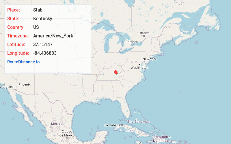
Full AddressStab, KY 42501
-
Coordinates37.1514701, -84.4368834
-
LocationStab , Kentucky , US
-
TimezoneAmerica/New_York
-
Current Local Time4:08:21 AM America/New_YorkWednesday, June 25, 2025
-
Page Views0
About Stab
Stab is an unincorporated community in Pulaski County, Kentucky, United States.
Nearby Places
Found 10 places within 50 miles

Dahl
2.1 mi
3.4 km
Dahl, KY 42503
Get directions
Piney Grove
4.5 mi
7.2 km
Piney Grove, KY 42501
Get directions
Elrod
5.0 mi
8.0 km
Elrod, KY 42503
Get directions
Whetstone
5.1 mi
8.2 km
Whetstone, KY 42501
Get directions
Barnesburg
5.3 mi
8.5 km
Barnesburg, KY 42503
Get directions
Dykes
5.8 mi
9.3 km
Dykes, KY 42501
Get directions
Squib
6.1 mi
9.8 km
Squib, KY 42501
Get directions
Ano
6.1 mi
9.8 km
Ano, KY 42501
Get directions
Colo
7.8 mi
12.6 km
Colo, KY 42501
Get directions
Alcalde
9.2 mi
14.8 km
Alcalde, KY 42501
Get directions
Location Links
Local Weather
Weather Information
Coming soon!
Location Map
Static map view of Stab, Kentucky
Browse Places by Distance
Places within specific distances from Stab
Short Distances
Long Distances
Click any distance to see all places within that range from Stab. Distances shown in miles (1 mile ≈ 1.61 kilometers).