Distance to Darfur, Minnesota

Calculating Your Route
Just a moment while we process your request...
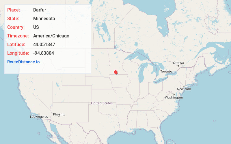
Location Information
-
Full AddressDarfur, MN 56120
-
Coordinates44.0513467, -94.8380398
-
LocationDarfur , Minnesota , US
-
TimezoneAmerica/Chicago
-
Current Local Time10:49:41 AM America/ChicagoMonday, June 16, 2025
-
Page Views0
About Darfur
Darfur is a city in Watonwan County, Minnesota, United States. The population was 108 at the 2010 census.

Nearby Places
Found 10 places within 50 miles

Comfrey
5.2 mi
8.4 km
Comfrey, MN 56019
Get directions

Butterfield
6.8 mi
10.9 km
Butterfield, MN 56120
Get directions

Mountain Lake
9.0 mi
14.5 km
Mountain Lake, MN 56159
Get directions

St James
11.5 mi
18.5 km
St James, MN 56081
Get directions

Odin
13.6 mi
21.9 km
Odin, MN 56160
Get directions

Bingham Lake
14.3 mi
23.0 km
Bingham Lake, MN 56118
Get directions

Springfield
14.6 mi
23.5 km
Springfield, MN 56087
Get directions
Ormsby
15.7 mi
25.3 km
Ormsby, MN
Get directions
Jeffers
17.8 mi
28.6 km
Jeffers, MN 56145
Get directions

Sleepy Eye
17.9 mi
28.8 km
Sleepy Eye, MN 56085
Get directions
Location Links
Local Weather
Weather Information
Coming soon!
Location Map
Static map view of Darfur, Minnesota
Browse Places by Distance
Places within specific distances from Darfur
Short Distances
Long Distances
Click any distance to see all places within that range from Darfur. Distances shown in miles (1 mile ≈ 1.61 kilometers).