Distance to and from Dawkins, Kentucky
Dawkins, West Van Lear, KY 41240
West Van Lear
Kentucky
US
America/New_York
Location Information
-
Full AddressDawkins, West Van Lear, KY 41240
-
Coordinates37.7903726, -82.7846046
-
LocationWest Van Lear , Kentucky , US
-
TimezoneAmerica/New_York
-
Current Local Time12:02:55 PM America/New_YorkMonday, May 5, 2025
-
Page Views0
Directions to Nearest Cities
Nearby Places
Found 10 places within 50 miles

Van Lear
2.0 mi
3.2 km
Van Lear, KY
Get directions

Paintsville
2.1 mi
3.4 km
Paintsville, KY
Get directions

Thealka
2.2 mi
3.5 km
Thealka, KY 41240
Get directions
Thelma
2.3 mi
3.7 km
Thelma, KY 41260
Get directions
Meally
2.5 mi
4.0 km
Meally, KY 41234
Get directions
East Point
3.1 mi
5.0 km
East Point, KY 41222
Get directions
Nero
3.3 mi
5.3 km
Nero, KY 41265
Get directions
Williamsport
3.7 mi
6.0 km
Williamsport, KY 41271
Get directions
Tutor Key
3.9 mi
6.3 km
Tutor Key, KY 41263
Get directions
Denver
3.9 mi
6.3 km
Denver, KY 41222
Get directions
Van Lear
2.0 mi
3.2 km
Van Lear, KY
Paintsville
2.1 mi
3.4 km
Paintsville, KY
Thealka
2.2 mi
3.5 km
Thealka, KY 41240
Thelma
2.3 mi
3.7 km
Thelma, KY 41260
Meally
2.5 mi
4.0 km
Meally, KY 41234
East Point
3.1 mi
5.0 km
East Point, KY 41222
Nero
3.3 mi
5.3 km
Nero, KY 41265
Williamsport
3.7 mi
6.0 km
Williamsport, KY 41271
Tutor Key
3.9 mi
6.3 km
Tutor Key, KY 41263
Denver
3.9 mi
6.3 km
Denver, KY 41222
Location Links
Local Weather
Weather Information
Coming soon!
Location Map
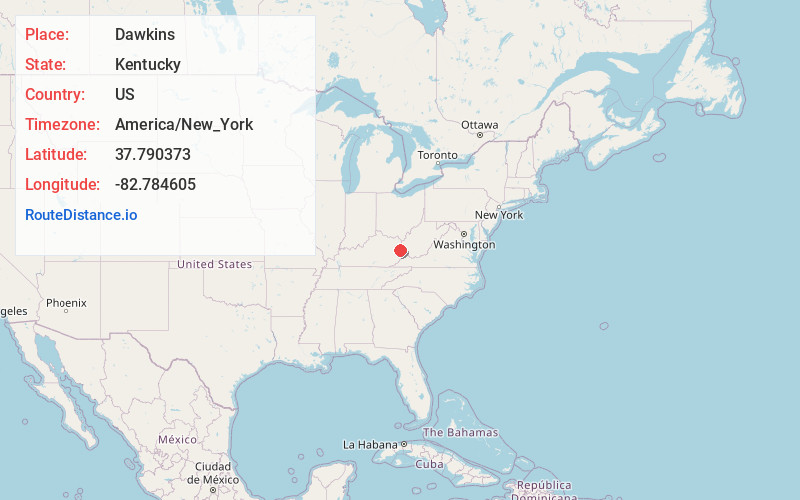
Static map view of Dawkins, Kentucky
Browse Places by Distance
Places within specific distances from Dawkins
Short Distances
Long Distances
Click any distance to see all places within that range from Dawkins. Distances shown in miles (1 mile ≈ 1.61 kilometers).