Distance to Thelma, Kentucky

Calculating Your Route
Just a moment while we process your request...
Location Information
-
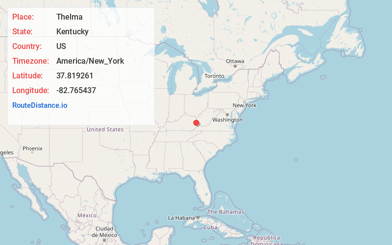
Full AddressThelma, KY 41260
-
Coordinates37.8192611, -82.7654373
-
LocationThelma , Kentucky , US
-
TimezoneAmerica/New_York
-
Current Local Time12:34:34 PM America/New_YorkThursday, June 19, 2025
-
Page Views0
About Thelma
Thelma is an unincorporated community in Johnson County, Kentucky, United States. The community was originally known as Buskirk, after a local family.
Nearby Places
Found 10 places within 50 miles

Thealka
1.3 mi
2.1 km
Thealka, KY 41240
Get directions
Tutor Key
1.7 mi
2.7 km
Tutor Key, KY 41263
Get directions
Williamsport
2.0 mi
3.2 km
Williamsport, KY 41271
Get directions
Meally
2.1 mi
3.4 km
Meally, KY 41234
Get directions

Paintsville
2.3 mi
3.7 km
Paintsville, KY
Get directions

Van Lear
3.3 mi
5.3 km
Van Lear, KY
Get directions
Nippa
3.4 mi
5.5 km
Nippa, KY 41240
Get directions
Wittensville
3.5 mi
5.6 km
Wittensville, KY 41240
Get directions
Staffordsville
4.2 mi
6.8 km
Staffordsville, KY 41256
Get directions
Nero
4.7 mi
7.6 km
Nero, KY 41265
Get directions
Location Links
Local Weather
Weather Information
Coming soon!
Location Map
Static map view of Thelma, Kentucky
Browse Places by Distance
Places within specific distances from Thelma
Short Distances
Long Distances
Click any distance to see all places within that range from Thelma. Distances shown in miles (1 mile ≈ 1.61 kilometers).