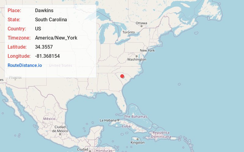
Distance to Dawkins, South Carolina

Calculating Your Route
Just a moment while we process your request...
Location Information
-
Full AddressDawkins, SC 29015
-
Coordinates34.3557, -81.3681535
-
LocationSouth Carolina , US
-
TimezoneAmerica/New_York
-
Current Local Time8:57:30 AM America/New_YorkThursday, May 22, 2025
-
Page Views0
Nearby Places
Found 10 places within 50 miles

Strother
3.0 mi
4.8 km
Strother, SC 29015
Get directions
Monticello
4.0 mi
6.4 km
Monticello, SC 29015
Get directions
Glymphville
4.1 mi
6.6 km
Glymphville, SC 29126
Get directions
Salem Crossroads
6.1 mi
9.8 km
Salem Crossroads, SC 29015
Get directions
Parr
6.5 mi
10.5 km
Parr, SC 29126
Get directions

Pomaria
6.7 mi
10.8 km
Pomaria, SC 29126
Get directions

Jenkinsville
7.6 mi
12.2 km
Jenkinsville, SC 29065
Get directions
Keitts Crossroads
8.2 mi
13.2 km
Keitts Crossroads, SC 29108
Get directions
Alston
8.3 mi
13.4 km
Alston, SC 29075
Get directions

Peak
8.3 mi
13.4 km
Peak, SC
Get directions
Location Links
Local Weather
Weather Information
Coming soon!
Location Map
Static map view of Dawkins, South Carolina
Browse Places by Distance
Places within specific distances from Dawkins
Short Distances
Long Distances
Click any distance to see all places within that range from Dawkins. Distances shown in miles (1 mile ≈ 1.61 kilometers).