Distance to Dawson, North Dakota

Calculating Your Route
Just a moment while we process your request...
Location Information
-
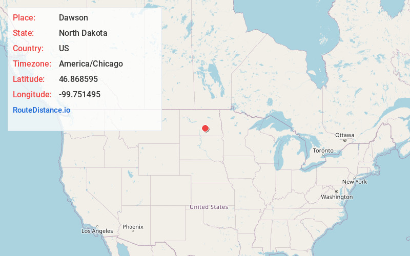
Full AddressDawson, ND 58428
-
Coordinates46.8685953, -99.751495
-
LocationDawson , North Dakota , US
-
TimezoneAmerica/Chicago
-
Current Local Time3:05:18 PM America/ChicagoThursday, June 5, 2025
-
Page Views0
About Dawson
Dawson is a city in Kidder County, North Dakota, United States. The population was 74 at the 2020 census.


Nearby Places
Found 10 places within 50 miles

Tappen
5.5 mi
8.9 km
Tappen, ND 58487
Get directions

Steele
7.8 mi
12.6 km
Steele, ND 58482
Get directions

Medina
21.4 mi
34.4 km
Medina, ND 58467
Get directions

Streeter
23.7 mi
38.1 km
Streeter, ND 58483
Get directions

Napoleon
24.9 mi
40.1 km
Napoleon, ND 58561
Get directions

Cleveland
30.0 mi
48.3 km
Cleveland, ND 58424
Get directions
Wing
31.2 mi
50.2 km
Wing, ND 58494
Get directions

Gackle
33.4 mi
53.8 km
Gackle, ND 58442
Get directions

Hazelton
36.5 mi
58.7 km
Hazelton, ND 58544
Get directions
Apple Valley
40.1 mi
64.5 km
Apple Valley, ND 58558
Get directions
Location Links
Local Weather
Weather Information
Coming soon!
Location Map
Static map view of Dawson, North Dakota
Browse Places by Distance
Places within specific distances from Dawson
Short Distances
Long Distances
Click any distance to see all places within that range from Dawson. Distances shown in miles (1 mile ≈ 1.61 kilometers).