Distance to Dawson Place, California

Calculating Your Route
Just a moment while we process your request...
Location Information
-
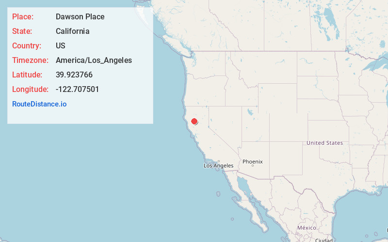
Full AddressDawson Place, CA
-
Coordinates39.9237656, -122.7075013
-
LocationDawson Place , California , US
-
TimezoneAmerica/Los_Angeles
-
Current Local Time2:01:02 AM America/Los_AngelesTuesday, June 24, 2025
-
Page Views0
Nearby Places
Found 10 places within 50 miles

Paskenta
9.0 mi
14.5 km
Paskenta, CA 96074
Get directions

Lowrey
10.3 mi
16.6 km
Lowrey, CA 96080
Get directions
Montgomery Place
13.2 mi
21.2 km
Montgomery Place, CA 96080
Get directions
Newville
13.2 mi
21.2 km
Newville, CA 95963
Get directions
Fiddlers Green
13.5 mi
21.7 km
Fiddlers Green, CA
Get directions

Flournoy
13.8 mi
22.2 km
Flournoy, CA
Get directions
Mary Ellen Place
14.1 mi
22.7 km
Mary Ellen Place, CA 96080
Get directions

Rancho Tehama Reserve
14.2 mi
22.9 km
Rancho Tehama Reserve, CA
Get directions

Chrome
15.8 mi
25.4 km
Chrome, CA 95963
Get directions
Cold Fork
17.2 mi
27.7 km
Cold Fork, CA 96080
Get directions
Location Links
Local Weather
Weather Information
Coming soon!
Location Map
Static map view of Dawson Place, California
Browse Places by Distance
Places within specific distances from Dawson Place
Short Distances
Long Distances
Click any distance to see all places within that range from Dawson Place. Distances shown in miles (1 mile ≈ 1.61 kilometers).