Distance to Flournoy, California

Calculating Your Route
Just a moment while we process your request...
Location Information
-
Full AddressFlournoy, CA
-
Coordinates39.9210087, -122.4471566
-
LocationFlournoy , California , US
-
TimezoneAmerica/Los_Angeles
-
Current Local Time3:33:17 AM America/Los_AngelesFriday, May 23, 2025
-
Page Views0
About Flournoy
Flournoy is a census-designated place in Tehama County, California. Flournoy sits at an elevation of 594 feet. Flournoy is located in the south-western part of the county approximately halfway between the city of Corning and the town of Paskenta, located on Thomes Creek. The zip code is 96029.


Nearby Places
Found 10 places within 50 miles

Rancho Tehama Reserve
5.5 mi
8.9 km
Rancho Tehama Reserve, CA
Get directions

Corning
14.2 mi
22.9 km
Corning, CA 96021
Get directions

Richfield
14.8 mi
23.8 km
Richfield, CA 96021
Get directions

Orland
17.9 mi
28.8 km
Orland, CA 95963
Get directions

Proberta
18.3 mi
29.5 km
Proberta, CA
Get directions

Gerber
18.4 mi
29.6 km
Gerber, CA 96035
Get directions

Tehama
18.6 mi
29.9 km
Tehama, CA
Get directions

Los Molinos
19.6 mi
31.5 km
Los Molinos, CA 96055
Get directions
Vina
20.8 mi
33.5 km
Vina, CA 96092
Get directions

Red Bluff
21.0 mi
33.8 km
Red Bluff, CA 96080
Get directions
Location Links
Local Weather
Weather Information
Coming soon!
Location Map
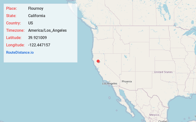
Static map view of Flournoy, California
Browse Places by Distance
Places within specific distances from Flournoy
Short Distances
Long Distances
Click any distance to see all places within that range from Flournoy. Distances shown in miles (1 mile ≈ 1.61 kilometers).