Distance to Tehama, California

Calculating Your Route
Just a moment while we process your request...
Location Information
-
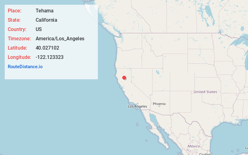
Full AddressTehama, CA
-
Coordinates40.0271015, -122.1233228
-
LocationTehama , California , US
-
TimezoneAmerica/Los_Angeles
-
Current Local Time3:45:22 AM America/Los_AngelesMonday, June 2, 2025
-
Page Views0
About Tehama
Tehama is a city in Tehama County, California, United States. The population was 418 at the 2010 census, down from 432 at the 2000 census.


Nearby Places
Found 10 places within 50 miles

Los Molinos
1.3 mi
2.1 km
Los Molinos, CA 96055
Get directions

Gerber
2.5 mi
4.0 km
Gerber, CA 96035
Get directions

Corning
7.5 mi
12.1 km
Corning, CA 96021
Get directions

Red Bluff
12.0 mi
19.3 km
Red Bluff, CA 96080
Get directions

Rancho Tehama Reserve
17.8 mi
28.6 km
Rancho Tehama Reserve, CA
Get directions

Orland
19.7 mi
31.7 km
Orland, CA 95963
Get directions

Hamilton City
20.5 mi
33.0 km
Hamilton City, CA 95951
Get directions

Chico
25.6 mi
41.2 km
Chico, CA
Get directions

Forest Ranch
25.7 mi
41.4 km
Forest Ranch, CA 95942
Get directions

Cottonwood
26.1 mi
42.0 km
Cottonwood, CA 96022
Get directions
Location Links
Local Weather
Weather Information
Coming soon!
Location Map
Static map view of Tehama, California
Browse Places by Distance
Places within specific distances from Tehama
Short Distances
Long Distances
Click any distance to see all places within that range from Tehama. Distances shown in miles (1 mile ≈ 1.61 kilometers).