Distance to Gerber, California

Calculating Your Route
Just a moment while we process your request...
Location Information
-
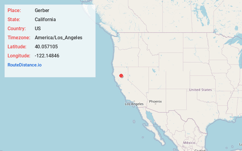
Full AddressGerber, CA 96035
-
Coordinates40.0571053, -122.1484603
-
LocationGerber , California , US
-
TimezoneAmerica/Los_Angeles
-
Current Local Time3:44:23 PM America/Los_AngelesWednesday, June 18, 2025
-
Page Views0
About Gerber
Gerber is a census-designated place in Tehama County, California. Gerber sits at an elevation of 226 feet. The 2020 United States census reported Gerber's population was 1,044.


Nearby Places
Found 10 places within 50 miles

Los Molinos
3.6 mi
5.8 km
Los Molinos, CA 96055
Get directions

Corning
9.1 mi
14.6 km
Corning, CA 96021
Get directions

Red Bluff
9.6 mi
15.4 km
Red Bluff, CA 96080
Get directions

Orland
21.6 mi
34.8 km
Orland, CA 95963
Get directions

Hamilton City
22.9 mi
36.9 km
Hamilton City, CA 95951
Get directions

Cottonwood
23.8 mi
38.3 km
Cottonwood, CA 96022
Get directions

Forest Ranch
27.8 mi
44.7 km
Forest Ranch, CA 95942
Get directions

Chico
28.1 mi
45.2 km
Chico, CA
Get directions

Anderson
28.1 mi
45.2 km
Anderson, CA 96007
Get directions

Happy Valley
30.4 mi
48.9 km
Happy Valley, CA 96007
Get directions
Location Links
Local Weather
Weather Information
Coming soon!
Location Map
Static map view of Gerber, California
Browse Places by Distance
Places within specific distances from Gerber
Short Distances
Long Distances
Click any distance to see all places within that range from Gerber. Distances shown in miles (1 mile ≈ 1.61 kilometers).