Distance to Proberta, California

Calculating Your Route
Just a moment while we process your request...
Location Information
-
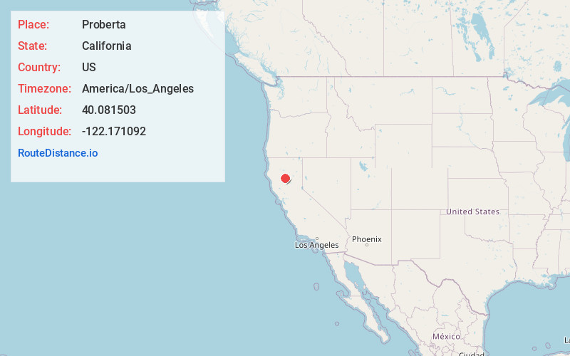
Full AddressProberta, CA
-
Coordinates40.0815029, -122.1710916
-
LocationProberta , California , US
-
TimezoneAmerica/Los_Angeles
-
Current Local Time5:42:14 PM America/Los_AngelesFriday, June 27, 2025
-
Page Views0
About Proberta
Proberta is a census-designated place in Tehama County, California, United States. Proberta is 7.5 miles south-southeast of Red Bluff. Proberta has a post office with ZIP code 96078. The population was 267 at the 2010 census.

Nearby Places
Found 10 places within 50 miles

Gerber
2.1 mi
3.4 km
Gerber, CA 96035
Get directions

Tehama
4.5 mi
7.2 km
Tehama, CA
Get directions

Los Molinos
5.6 mi
9.0 km
Los Molinos, CA 96055
Get directions

Red Bluff
7.5 mi
12.1 km
Red Bluff, CA 96080
Get directions

Corning
10.6 mi
17.1 km
Corning, CA 96021
Get directions

Bend
12.0 mi
19.3 km
Bend, CA 96080
Get directions
Vina
12.0 mi
19.3 km
Vina, CA 96092
Get directions

Rancho Tehama Reserve
16.2 mi
26.1 km
Rancho Tehama Reserve, CA
Get directions

Cottonwood
21.8 mi
35.1 km
Cottonwood, CA 96022
Get directions

Orland
23.1 mi
37.2 km
Orland, CA 95963
Get directions
Location Links
Local Weather
Weather Information
Coming soon!
Location Map
Static map view of Proberta, California
Browse Places by Distance
Places within specific distances from Proberta
Short Distances
Long Distances
Click any distance to see all places within that range from Proberta. Distances shown in miles (1 mile ≈ 1.61 kilometers).