Distance to Bend, California

Calculating Your Route
Just a moment while we process your request...
Location Information
-
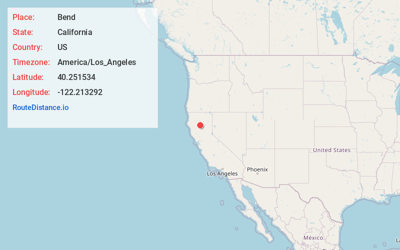
Full AddressBend, CA 96080
-
Coordinates40.2515342, -122.2132916
-
LocationBend , California , US
-
TimezoneAmerica/Los_Angeles
-
Current Local Time4:00:26 PM America/Los_AngelesWednesday, June 18, 2025
-
Page Views0
About Bend
Bend is a census-designated place in Tehama County, California, United States. Bend is located on the Sacramento River 6 miles north-northeast of Red Bluff. Bend had a post office from 1897 to 1935.
Nearby Places
Found 10 places within 50 miles

Red Bluff
5.2 mi
8.4 km
Red Bluff, CA 96080
Get directions

Cottonwood
9.9 mi
15.9 km
Cottonwood, CA 96022
Get directions

Gerber
13.9 mi
22.4 km
Gerber, CA 96035
Get directions

Anderson
14.3 mi
23.0 km
Anderson, CA 96007
Get directions

Tehama
16.2 mi
26.1 km
Tehama, CA
Get directions

Los Molinos
17.0 mi
27.4 km
Los Molinos, CA 96055
Get directions

Happy Valley
17.1 mi
27.5 km
Happy Valley, CA 96007
Get directions

Millville
20.9 mi
33.6 km
Millville, CA
Get directions

Palo Cedro
21.6 mi
34.8 km
Palo Cedro, CA
Get directions

Rancho Tehama Reserve
21.6 mi
34.8 km
Rancho Tehama Reserve, CA
Get directions
Location Links
Local Weather
Weather Information
Coming soon!
Location Map
Static map view of Bend, California
Browse Places by Distance
Places within specific distances from Bend
Short Distances
Long Distances
Click any distance to see all places within that range from Bend. Distances shown in miles (1 mile ≈ 1.61 kilometers).