Distance to Day, California

Calculating Your Route
Just a moment while we process your request...
Location Information
-
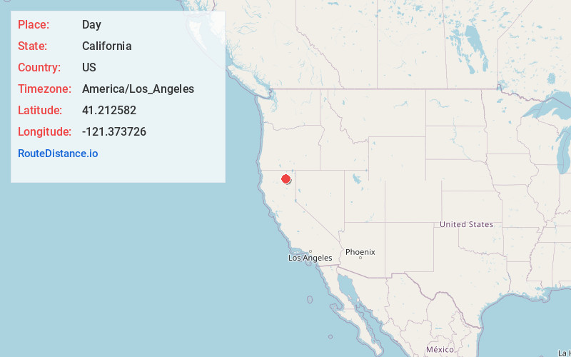
Full AddressDay, CA 96056
-
Coordinates41.212582, -121.373726
-
LocationDay , California , US
-
TimezoneAmerica/Los_Angeles
-
Current Local Time7:44:06 AM America/Los_AngelesSaturday, May 24, 2025
-
Page Views0
About Day
Day is an unincorporated community in Modoc County, California. It is located 22 miles west of Adin, at an elevation of 3645 feet.
A post office operated at Day from 1888 to 1925 and from 1926 to 1953.
Nearby Places
Found 10 places within 50 miles

Lookout
11.2 mi
18.0 km
Lookout, CA 96054
Get directions

McArthur
11.3 mi
18.2 km
McArthur, CA
Get directions
Nubieber
12.8 mi
20.6 km
Nubieber, CA 96068
Get directions

Bieber
13.8 mi
22.2 km
Bieber, CA
Get directions

Fall River Mills
14.8 mi
23.8 km
Fall River Mills, CA 96028
Get directions

Adin
22.4 mi
36.0 km
Adin, CA 96006
Get directions

Cassel
22.5 mi
36.2 km
Cassel, CA 96016
Get directions

Johnson Park
24.2 mi
38.9 km
Johnson Park, CA 96013
Get directions

Little Valley
24.3 mi
39.1 km
Little Valley, CA 96056
Get directions

Burney
27.3 mi
43.9 km
Burney, CA 96013
Get directions
Location Links
Local Weather
Weather Information
Coming soon!
Location Map
Static map view of Day, California
Browse Places by Distance
Places within specific distances from Day
Short Distances
Long Distances
Click any distance to see all places within that range from Day. Distances shown in miles (1 mile ≈ 1.61 kilometers).