Distance to McArthur, California

Calculating Your Route
Just a moment while we process your request...
Location Information
-
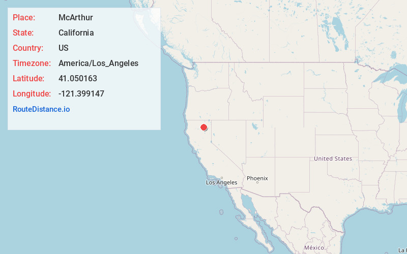
Full AddressMcArthur, CA
-
Coordinates41.0501634, -121.3991468
-
LocationMcArthur , California , US
-
TimezoneAmerica/Los_Angeles
-
Current Local Time7:43:01 PM America/Los_AngelesWednesday, May 21, 2025
-
Page Views0
About McArthur
McArthur is a census-designated place in Shasta County, California, United States. Its population is 334 as of the 2020 census, down from 338 from the 2010 census. McArthur is a small ranching community, located 4 mi east of Fall River Mills.


Nearby Places
Found 7 places within 50 miles

Fall River Mills
3.8 mi
6.1 km
Fall River Mills, CA 96028
Get directions

Johnson Park
14.9 mi
24.0 km
Johnson Park, CA 96013
Get directions

Burney
17.9 mi
28.8 km
Burney, CA 96013
Get directions

McCloud
41.0 mi
66.0 km
McCloud, CA 96057
Get directions

Oak Run
41.6 mi
66.9 km
Oak Run, CA 96069
Get directions

Shingletown
46.2 mi
74.4 km
Shingletown, CA 96088
Get directions

Dunsmuir
46.7 mi
75.2 km
Dunsmuir, CA
Get directions
Location Links
Local Weather
Weather Information
Coming soon!
Location Map
Static map view of McArthur, California
Browse Places by Distance
Places within specific distances from McArthur
Short Distances
Long Distances
Click any distance to see all places within that range from McArthur. Distances shown in miles (1 mile ≈ 1.61 kilometers).