Distance to Shingletown, California

Calculating Your Route
Just a moment while we process your request...
Location Information
-
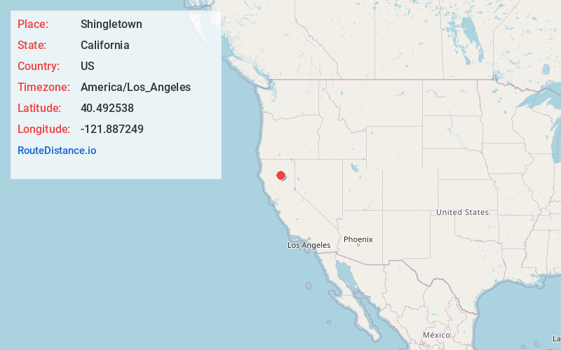
Full AddressShingletown, CA 96088
-
Coordinates40.4925379, -121.8872486
-
LocationShingletown , California , US
-
TimezoneAmerica/Los_Angeles
-
Current Local Time9:16:02 AM America/Los_AngelesSaturday, June 21, 2025
-
Page Views0
About Shingletown
Shingletown is a census-designated place in Shasta County, California, United States. Its population is 2,442, as of the 2020 census.
Shingletown is a town located along California State Route 44 in the hills just below Mount Lassen. Shingletown has a history of logging large timber, including pine, fir and cedar.


Nearby Places
Found 10 places within 50 miles

Palo Cedro
19.1 mi
30.7 km
Palo Cedro, CA
Get directions

Anderson
21.8 mi
35.1 km
Anderson, CA 96007
Get directions

Cottonwood
22.0 mi
35.4 km
Cottonwood, CA 96022
Get directions

Bella Vista
22.2 mi
35.7 km
Bella Vista, CA
Get directions

Redding
26.7 mi
43.0 km
Redding, CA
Get directions

Happy Valley
27.4 mi
44.1 km
Happy Valley, CA 96007
Get directions

Red Bluff
28.4 mi
45.7 km
Red Bluff, CA 96080
Get directions

Shasta Lake
28.5 mi
45.9 km
Shasta Lake, CA 96019
Get directions

Burney
29.4 mi
47.3 km
Burney, CA 96013
Get directions

Corning
42.0 mi
67.6 km
Corning, CA 96021
Get directions
Location Links
Local Weather
Weather Information
Coming soon!
Location Map
Static map view of Shingletown, California
Browse Places by Distance
Places within specific distances from Shingletown
Short Distances
Long Distances
Click any distance to see all places within that range from Shingletown. Distances shown in miles (1 mile ≈ 1.61 kilometers).