Distance to De Lamere, North Dakota

Calculating Your Route
Just a moment while we process your request...
Location Information
-
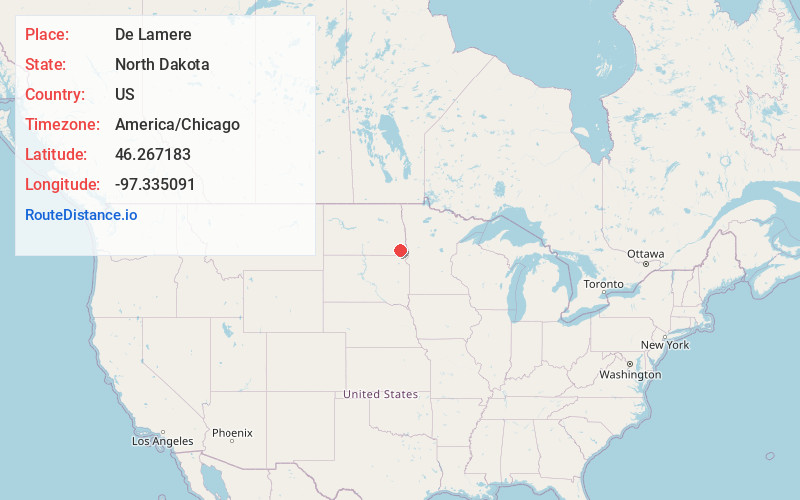
Full AddressDe Lamere, ND 58060
-
Coordinates46.2671834, -97.3350905
-
LocationDe Lamere , North Dakota , US
-
TimezoneAmerica/Chicago
-
Current Local Time8:01:48 AM America/ChicagoSunday, June 22, 2025
-
Page Views0
About De Lamere
De Lamere is a census-designated place and unincorporated community in Sargent County, North Dakota, United States. Its population was 30 as of the 2010 census.
The town received its French name after an official with the Northern Pacific Railroad. The town was established in 1885 in Hall Township.
Nearby Places
Found 10 places within 50 miles

Milnor
5.8 mi
9.3 km
Milnor, ND 58060
Get directions
McLeod
8.9 mi
14.3 km
McLeod, ND
Get directions
Wyndmere
9.7 mi
15.6 km
Wyndmere, ND 58081
Get directions

Cayuga
13.5 mi
21.7 km
Cayuga, ND 58013
Get directions

Lidgerwood
15.9 mi
25.6 km
Lidgerwood, ND 58053
Get directions

Gwinner
15.9 mi
25.6 km
Gwinner, ND
Get directions
Barney
16.0 mi
25.7 km
Barney, ND 58008
Get directions

Rutland
17.0 mi
27.4 km
Rutland, ND 58067
Get directions
Forman
18.1 mi
29.1 km
Forman, ND 58032
Get directions

Mantador
18.5 mi
29.8 km
Mantador, ND 58058
Get directions
Location Links
Local Weather
Weather Information
Coming soon!
Location Map
Static map view of De Lamere, North Dakota
Browse Places by Distance
Places within specific distances from De Lamere
Short Distances
Long Distances
Click any distance to see all places within that range from De Lamere. Distances shown in miles (1 mile ≈ 1.61 kilometers).