Distance to Dearfield, Colorado

Calculating Your Route
Just a moment while we process your request...
Location Information
-
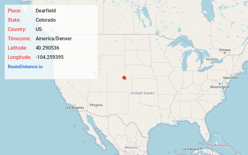
Full AddressDearfield, CO 80644
-
Coordinates40.2905364, -104.2593953
-
LocationColorado , US
-
TimezoneAmerica/Denver
-
Current Local Time8:12:22 PM America/DenverThursday, June 19, 2025
-
Page Views0
About Dearfield
Dearfield is an extinct town and a historically black majority settlement in Weld County, Colorado, United States. It is 30 miles east of Greeley. The town was formed by Oliver Toussaint Jackson, who desired to create a colony for African American homesteaders.


Nearby Places
Found 10 places within 50 miles

Orchard
8.0 mi
12.9 km
Orchard, CO 80649
Get directions

Wiggins
10.7 mi
17.2 km
Wiggins, CO 80654
Get directions

Jackson Lake
10.9 mi
17.5 km
Jackson Lake, CO
Get directions

Weldona
15.7 mi
25.3 km
Weldona, CO 80653
Get directions

Kersey
17.3 mi
27.8 km
Kersey, CO
Get directions

Keenesburg
18.6 mi
29.9 km
Keenesburg, CO 80643
Get directions
Trail Side
22.2 mi
35.7 km
Trail Side, CO 80701
Get directions

Log Lane Village
22.7 mi
36.5 km
Log Lane Village, CO
Get directions
Morgan Heights
22.8 mi
36.7 km
Morgan Heights, CO 80701
Get directions

Evans
23.6 mi
38.0 km
Evans, CO
Get directions
Location Links
Local Weather
Weather Information
Coming soon!
Location Map
Static map view of Dearfield, Colorado
Browse Places by Distance
Places within specific distances from Dearfield
Short Distances
Long Distances
Click any distance to see all places within that range from Dearfield. Distances shown in miles (1 mile ≈ 1.61 kilometers).