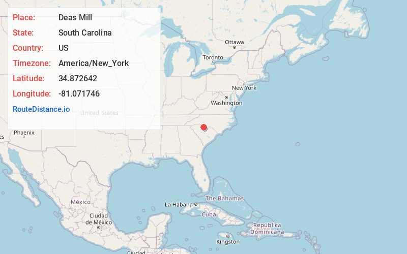
Distance to Deas Mill, South Carolina

Calculating Your Route
Just a moment while we process your request...
Location Information
-
Full AddressDeas Mill, SC 29730
-
Coordinates34.872642, -81.0717464
-
LocationSouth Carolina , US
-
TimezoneAmerica/New_York
-
Current Local Time3:37:31 AM America/New_YorkWednesday, June 18, 2025
-
Page Views0
Nearby Places
Found 10 places within 50 miles

Ogden
1.5 mi
2.4 km
Ogden, SC 29730
Get directions
Flint Hill
2.8 mi
4.5 km
Flint Hill, Rock Hill, SC 29730
Get directions

Rock Hill
4.3 mi
6.9 km
Rock Hill, SC
Get directions
Smith
4.3 mi
6.9 km
Smith, SC 29730
Get directions
Edgemoor
5.8 mi
9.3 km
Edgemoor, SC 29712
Get directions
Mexico
5.9 mi
9.5 km
Mexico, Rock Hill, SC 29730
Get directions
Old Point Station
6.2 mi
10.0 km
Old Point Station, Rock Hill, SC 29732
Get directions
Lesslie
6.6 mi
10.6 km
Lesslie, SC
Get directions
Lewis
7.4 mi
11.9 km
Lewis, SC 29706
Get directions
Miller Crossing
7.4 mi
11.9 km
Miller Crossing, Rock Hill, SC 29732
Get directions
Location Links
Local Weather
Weather Information
Coming soon!
Location Map
Static map view of Deas Mill, South Carolina
Browse Places by Distance
Places within specific distances from Deas Mill
Short Distances
Long Distances
Click any distance to see all places within that range from Deas Mill. Distances shown in miles (1 mile ≈ 1.61 kilometers).