Distance to Ogden, South Carolina

Calculating Your Route
Just a moment while we process your request...
Location Information
-
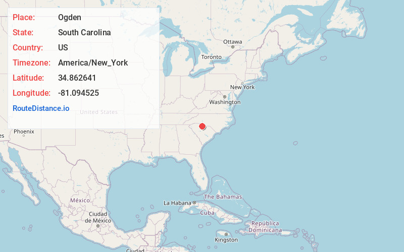
Full AddressOgden, SC 29730
-
Coordinates34.8626412, -81.0945248
-
LocationSouth Carolina , US
-
TimezoneAmerica/New_York
-
Current Local Time6:28:32 AM America/New_YorkSaturday, June 21, 2025
-
Page Views0
About Ogden
Ogden is an unincorporated community in York County, South Carolina, United States, located along South Carolina Highway 324, southwest of Rock Hill. The elevation of Ogden is 532 feet.
Nearby Places
Found 10 places within 50 miles

Smith
3.1 mi
5.0 km
Smith, SC 29730
Get directions
Flint Hill
4.1 mi
6.6 km
Flint Hill, Rock Hill, SC 29730
Get directions

Rock Hill
5.7 mi
9.2 km
Rock Hill, SC
Get directions
Edgemoor
6.1 mi
9.8 km
Edgemoor, SC 29712
Get directions
Lewis
6.2 mi
10.0 km
Lewis, SC 29706
Get directions
Guthries
6.9 mi
11.1 km
Guthries, SC 29726
Get directions
Old Point Station
7.2 mi
11.6 km
Old Point Station, Rock Hill, SC 29732
Get directions
McConnells
7.6 mi
12.2 km
McConnells, SC 29726
Get directions
Lando
7.7 mi
12.4 km
Lando, SC 29729
Get directions
Lesslie
8.1 mi
13.0 km
Lesslie, SC
Get directions
Location Links
Local Weather
Weather Information
Coming soon!
Location Map
Static map view of Ogden, South Carolina
Browse Places by Distance
Places within specific distances from Ogden
Short Distances
Long Distances
Click any distance to see all places within that range from Ogden. Distances shown in miles (1 mile ≈ 1.61 kilometers).