Distance to Deep Springs, California

Calculating Your Route
Just a moment while we process your request...
Location Information
-
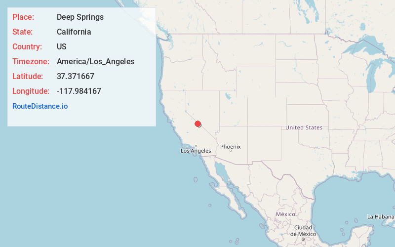
Full AddressDeep Springs, CA 93513
-
Coordinates37.371667, -117.984167
-
LocationDeep Springs , California , US
-
TimezoneAmerica/Los_Angeles
-
Current Local Time1:25:08 AM America/Los_AngelesFriday, June 20, 2025
-
Page Views0
About Deep Springs
Deep Springs is a set of artesian springs in Inyo County, California, that are used for irrigation, water supply, and livestock. The springs lie within the treaty territory of the Western Bands of the Shoshone Nation of Indians.

Nearby Places
Found 10 places within 50 miles

Dyer
20.9 mi
33.6 km
Dyer, NV 89010
Get directions

Big Pine
22.0 mi
35.4 km
Big Pine, CA
Get directions

Bishop
22.6 mi
36.4 km
Bishop, CA 93514
Get directions

Wilkerson
23.0 mi
37.0 km
Wilkerson, CA 93514
Get directions

Chalfant
23.7 mi
38.1 km
Chalfant, CA 93514
Get directions

Dixon Lane-Meadow Creek
24.0 mi
38.6 km
Dixon Lane-Meadow Creek, CA 93514
Get directions

West Bishop
25.9 mi
41.7 km
West Bishop, CA 93514
Get directions

Mesa
30.8 mi
49.6 km
Mesa, CA 93514
Get directions

Hammil
31.3 mi
50.4 km
Hammil, CA 93514
Get directions

Silver Peak
32.6 mi
52.5 km
Silver Peak, NV 89047
Get directions
Location Links
Local Weather
Weather Information
Coming soon!
Location Map
Static map view of Deep Springs, California
Browse Places by Distance
Places within specific distances from Deep Springs
Short Distances
Long Distances
Click any distance to see all places within that range from Deep Springs. Distances shown in miles (1 mile ≈ 1.61 kilometers).