Distance to Deerfield, Iowa

Calculating Your Route
Just a moment while we process your request...
Location Information
-
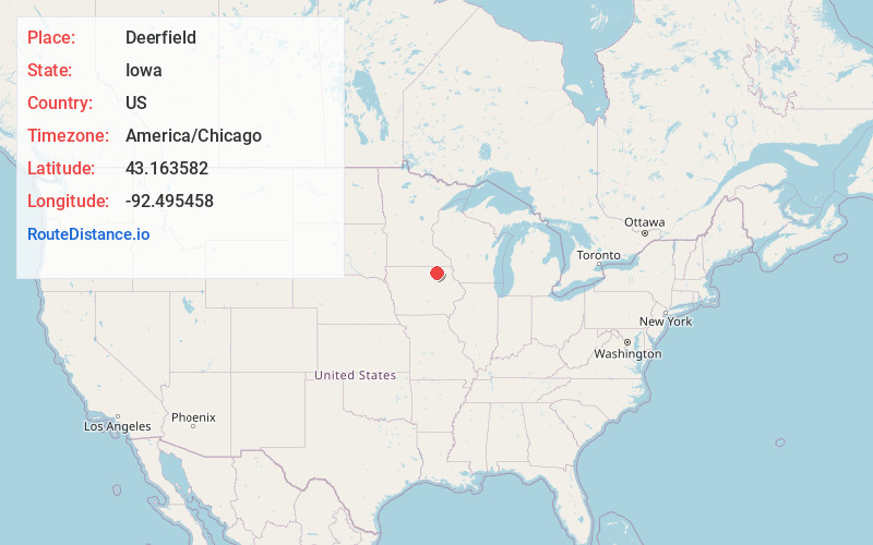
Full AddressDeerfield, IA 50603
-
Coordinates43.1635824, -92.4954577
-
LocationDeerfield , Iowa , US
-
TimezoneAmerica/Chicago
-
Current Local Time7:50:25 PM America/ChicagoWednesday, June 4, 2025
-
Page Views0
About Deerfield
Deerfield is an unincorporated community in Chickasaw County, Iowa, United States. It is located near the intersections of County Highways B28 and T76 on the east side of the Wapsipinicon River. It is five miles east of Colwell and four miles northwest of North Washington, at 43.162975N, -92.495651W.
Nearby Places
Found 10 places within 50 miles

Alta Vista
4.6 mi
7.4 km
Alta Vista, IA 50603
Get directions
Colwell
5.0 mi
8.0 km
Colwell, IA
Get directions
North Washington
5.1 mi
8.2 km
North Washington, IA 50659
Get directions

Elma
6.5 mi
10.5 km
Elma, IA 50628
Get directions
Bassett
7.1 mi
11.4 km
Bassett, IA 50645
Get directions
Devon
7.6 mi
12.2 km
Devon, IA 50659
Get directions
Ionia
9.2 mi
14.8 km
Ionia, IA 50645
Get directions
New Haven
11.1 mi
17.9 km
New Haven, IA 50461
Get directions

Charles City
11.2 mi
18.0 km
Charles City, IA 50616
Get directions

New Hampton
11.5 mi
18.5 km
New Hampton, IA 50659
Get directions
Location Links
Local Weather
Weather Information
Coming soon!
Location Map
Static map view of Deerfield, Iowa
Browse Places by Distance
Places within specific distances from Deerfield
Short Distances
Long Distances
Click any distance to see all places within that range from Deerfield. Distances shown in miles (1 mile ≈ 1.61 kilometers).