Distance to Dekalb, South Carolina

Calculating Your Route
Just a moment while we process your request...
Location Information
-
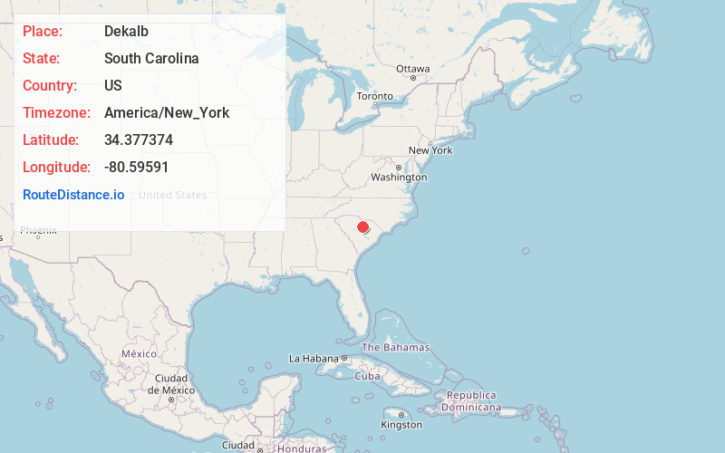
Full AddressDekalb, SC 29020
-
Coordinates34.3773741, -80.5959099
-
LocationDeKalb , South Carolina , US
-
TimezoneAmerica/New_York
-
Current Local Time9:21:40 AM America/New_YorkSaturday, June 21, 2025
-
Page Views0
About Dekalb
DeKalb is an unincorporated community in Kershaw County, South Carolina, United States. Its ZIP code is 29175. It is located on US Route 521, 9 miles north of Camden. The community is named for Baron DeKalb.
Nearby Places
Found 10 places within 50 miles

Clyburn
2.9 mi
4.7 km
Clyburn, SC 29020
Get directions
Shamokin
3.6 mi
5.8 km
Shamokin, SC 29020
Get directions
Lockhart Oil Field
4.7 mi
7.6 km
Lockhart Oil Field, SC 29067
Get directions
Shepard
4.8 mi
7.7 km
Shepard, SC 29032
Get directions
Cantey
5.2 mi
8.4 km
Cantey, SC 29020
Get directions
Jordan Mill
5.4 mi
8.7 km
Jordan Mill, SC 29067
Get directions
Westville
5.5 mi
8.9 km
Westville, SC 29175
Get directions
Dusty Bend
7.4 mi
11.9 km
Dusty Bend, Camden, SC 29020
Get directions
Kirkwood
7.5 mi
12.1 km
Kirkwood, Camden, SC 29020
Get directions
Barfield Mill
8.3 mi
13.4 km
Barfield Mill, SC 29067
Get directions
Location Links
Local Weather
Weather Information
Coming soon!
Location Map
Static map view of Dekalb, South Carolina
Browse Places by Distance
Places within specific distances from Dekalb
Short Distances
Long Distances
Click any distance to see all places within that range from Dekalb. Distances shown in miles (1 mile ≈ 1.61 kilometers).