Distance to Dusty Bend, South Carolina

Calculating Your Route
Just a moment while we process your request...
Location Information
-
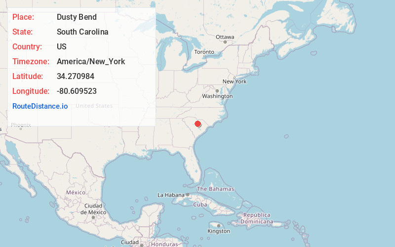
Full AddressDusty Bend, Camden, SC 29020
-
Coordinates34.2709838, -80.6095234
-
LocationCamden , South Carolina , US
-
TimezoneAmerica/New_York
-
Current Local Time11:59:14 AM America/New_YorkThursday, June 12, 2025
-
Page Views0
Nearby Places
Found 10 places within 50 miles

Camden
1.7 mi
2.7 km
Camden, SC 29020
Get directions

Hermitage Mill
2.3 mi
3.7 km
Hermitage Mill, SC 29020
Get directions
Shamokin
3.8 mi
6.1 km
Shamokin, SC 29020
Get directions
Shepard
5.4 mi
8.7 km
Shepard, SC 29032
Get directions

Lugoff
5.5 mi
8.9 km
Lugoff, SC
Get directions
Boykin
10.8 mi
17.4 km
Boykin, SC 29128
Get directions

Elgin
12.6 mi
20.3 km
Elgin, SC 29045
Get directions

Rembert
12.9 mi
20.8 km
Rembert, SC 29128
Get directions
Ellerbees Mill
14.7 mi
23.7 km
Ellerbees Mill, SC 29128
Get directions
Coats Crossroad
16.5 mi
26.6 km
Coats Crossroad, SC 29067
Get directions
Location Links
Local Weather
Weather Information
Coming soon!
Location Map
Static map view of Dusty Bend, South Carolina
Browse Places by Distance
Places within specific distances from Dusty Bend
Short Distances
Long Distances
Click any distance to see all places within that range from Dusty Bend. Distances shown in miles (1 mile ≈ 1.61 kilometers).