Distance to Denmark, Iowa

Calculating Your Route
Just a moment while we process your request...
Location Information
-
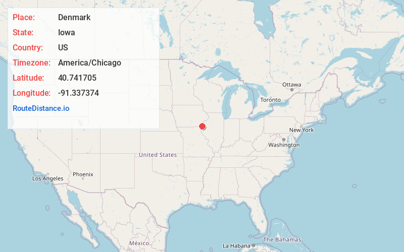
Full AddressDenmark, IA
-
Coordinates40.7417052, -91.3373735
-
LocationDenmark , Iowa , US
-
TimezoneAmerica/Chicago
-
Current Local Time10:09:31 AM America/ChicagoMonday, June 23, 2025
-
Page Views0
About Denmark
Denmark is an unincorporated community and census-designated place in northeastern Lee County, Iowa, United States. It lies along Iowa Highway 16, north of the city of Fort Madison, the county seat of Lee County. Its elevation is 722 feet above sea level.


Nearby Places
Found 10 places within 50 miles

West Point
6.2 mi
10.0 km
West Point, IA 52656
Get directions

Fort Madison
7.8 mi
12.6 km
Fort Madison, IA
Get directions

Danville
8.6 mi
13.8 km
Danville, IA 52623
Get directions

West Burlington
11.1 mi
17.9 km
West Burlington, IA
Get directions

Dallas City
11.5 mi
18.5 km
Dallas City, IL 62330
Get directions

Burlington
12.6 mi
20.3 km
Burlington, IA
Get directions

New London
13.2 mi
21.2 km
New London, IA 52645
Get directions

Nauvoo
13.5 mi
21.7 km
Nauvoo, IL 62354
Get directions

Donnellson
13.7 mi
22.0 km
Donnellson, IA 52625
Get directions

Montrose
15.0 mi
24.1 km
Montrose, IA 52639
Get directions
Location Links
Local Weather
Weather Information
Coming soon!
Location Map
Static map view of Denmark, Iowa
Browse Places by Distance
Places within specific distances from Denmark
Short Distances
Long Distances
Click any distance to see all places within that range from Denmark. Distances shown in miles (1 mile ≈ 1.61 kilometers).