Distance to Dennis Port, Massachusetts
Location Information
-
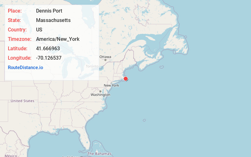
Full AddressDennis Port, Dennis, MA
-
Coordinates41.6669626, -70.1265374
-
NeighborhoodDennis Port
-
LocationDennis , Massachusetts , US
-
TimezoneAmerica/New_York
-
Current Local Time2:12:03 AM America/New_YorkSaturday, May 17, 2025
-
Page Views0
About Dennis Port
Dennis Port is a census-designated place in the town of Dennis in Barnstable County, Cape Cod, Massachusetts, United States. At the 2010 census, its population was 3,162.
The Swan Pond River and Upper County Road demarcate Dennis Port's western border with West Dennis.


Nearby Places
Found 10 places within 50 miles

Harwich
3.2 mi
5.1 km
Harwich, MA
Get directions

Yarmouth
4.0 mi
6.4 km
Yarmouth, MA
Get directions

Dennis
5.9 mi
9.5 km
Dennis, MA
Get directions

Brewster
6.9 mi
11.1 km
Brewster, MA
Get directions

Barnstable
8.3 mi
13.4 km
Barnstable, MA
Get directions

Chatham
8.6 mi
13.8 km
Chatham, MA
Get directions

Orleans
10.9 mi
17.5 km
Orleans, MA
Get directions

Eastham
14.9 mi
24.0 km
Eastham, MA
Get directions

Mashpee
18.4 mi
29.6 km
Mashpee, MA
Get directions

Wellfleet
19.7 mi
31.7 km
Wellfleet, MA
Get directions
Location Links
Local Weather
Weather Information
Coming soon!
Location Map
Static map view of Dennis Port, Massachusetts
Browse Places by Distance
Places within specific distances from Dennis Port
Short Distances
Long Distances
Click any distance to see all places within that range from Dennis Port. Distances shown in miles (1 mile ≈ 1.61 kilometers).