Distance to Denton, Georgia

Calculating Your Route
Just a moment while we process your request...
Location Information
-
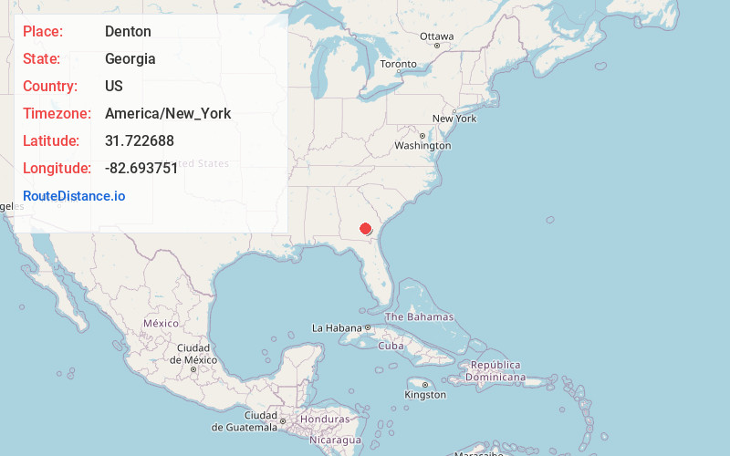
Full AddressDenton, GA
-
Coordinates31.7226881, -82.6937513
-
LocationDenton , Georgia , US
-
TimezoneAmerica/New_York
-
Current Local Time5:38:31 AM America/New_YorkWednesday, June 18, 2025
-
Page Views0
About Denton
Denton is a city in Jeff Davis County, Georgia, United States. The population was 189 in 2020.
Nearby Places
Found 10 places within 50 miles

Satilla
8.6 mi
13.8 km
Satilla, GA 31539
Get directions

Hazlehurst
11.7 mi
18.8 km
Hazlehurst, GA 31539
Get directions

Broxton
13.2 mi
21.2 km
Broxton, GA 31519
Get directions
Graham
13.5 mi
21.7 km
Graham, GA
Get directions

Lumber City
14.3 mi
23.0 km
Lumber City, GA
Get directions
Nicholls
14.6 mi
23.5 km
Nicholls, GA 31554
Get directions

Douglas
17.4 mi
28.0 km
Douglas, GA
Get directions

Alma
18.6 mi
29.9 km
Alma, GA 31510
Get directions

Baxley
20.6 mi
33.2 km
Baxley, GA 31513
Get directions

Scotland
23.7 mi
38.1 km
Scotland, GA
Get directions
Location Links
Local Weather
Weather Information
Coming soon!
Location Map
Static map view of Denton, Georgia
Browse Places by Distance
Places within specific distances from Denton
Short Distances
Long Distances
Click any distance to see all places within that range from Denton. Distances shown in miles (1 mile ≈ 1.61 kilometers).