Distance to Satilla, Georgia

Calculating Your Route
Just a moment while we process your request...
Location Information
-
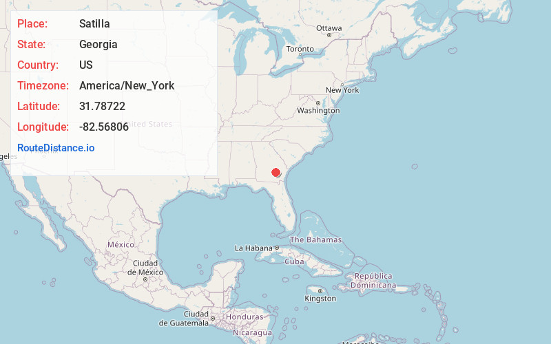
Full AddressSatilla, GA 31539
-
Coordinates31.78722, -82.56806
-
LocationSatilla , Georgia , US
-
TimezoneAmerica/New_York
-
Current Local Time9:29:41 AM America/New_YorkFriday, June 20, 2025
-
Page Views0
About Satilla
Satilla is a unincorporated community and census designated place in Jeff Davis County, Georgia, United States. Its population was 487 as of the 2020 census. U.S. Route 23 passes through the community.
Nearby Places
Found 10 places within 50 miles

Graham
4.9 mi
7.9 km
Graham, GA
Get directions

Hazlehurst
5.9 mi
9.5 km
Hazlehurst, GA 31539
Get directions

Lumber City
11.8 mi
19.0 km
Lumber City, GA
Get directions

Baxley
12.9 mi
20.8 km
Baxley, GA 31513
Get directions

Uvalda
17.5 mi
28.2 km
Uvalda, GA 30473
Get directions

Alma
18.2 mi
29.3 km
Alma, GA 31510
Get directions
Nicholls
19.1 mi
30.7 km
Nicholls, GA 31554
Get directions

Broxton
21.8 mi
35.1 km
Broxton, GA 31519
Get directions

Surrency
22.2 mi
35.7 km
Surrency, GA 31563
Get directions

Scotland
23.2 mi
37.3 km
Scotland, GA
Get directions
Location Links
Local Weather
Weather Information
Coming soon!
Location Map
Static map view of Satilla, Georgia
Browse Places by Distance
Places within specific distances from Satilla
Short Distances
Long Distances
Click any distance to see all places within that range from Satilla. Distances shown in miles (1 mile ≈ 1.61 kilometers).