Distance to and from Derby, North Carolina
Derby, NC 28338
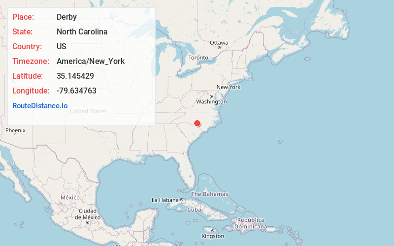
North Carolina
US
America/New_York
Location Information
-
Full AddressDerby, NC 28338
-
Coordinates35.1454291, -79.6347634
-
LocationNorth Carolina , US
-
TimezoneAmerica/New_York
-
Current Local Time4:33:20 PM America/New_YorkSaturday, May 3, 2025
-
Page Views0
Directions to Nearest Cities
Nearby Places
Found 10 places within 50 miles

Wind Blow
2.6 mi
4.2 km
Wind Blow, NC 28338
Get directions
Foxfire
4.3 mi
6.9 km
Foxfire, NC
Get directions

Jackson Springs
4.5 mi
7.2 km
Jackson Springs, NC 27281
Get directions

Norman
5.3 mi
8.5 km
Norman, NC
Get directions
Edgewood Terrace
7.0 mi
11.3 km
Edgewood Terrace, NC 27376
Get directions
Roseland
7.1 mi
11.4 km
Roseland, NC 28315
Get directions
Rubyatt
7.3 mi
11.7 km
Rubyatt, NC 27229
Get directions
Garren Hill
8.0 mi
12.9 km
Garren Hill, Pinehurst, NC 28374
Get directions

Ellerbe
8.8 mi
14.2 km
Ellerbe, NC
Get directions
Capels Mill
9.1 mi
14.6 km
Capels Mill, NC 28338
Get directions
Wind Blow
2.6 mi
4.2 km
Wind Blow, NC 28338
Foxfire
4.3 mi
6.9 km
Foxfire, NC
Jackson Springs
4.5 mi
7.2 km
Jackson Springs, NC 27281
Norman
5.3 mi
8.5 km
Norman, NC
Edgewood Terrace
7.0 mi
11.3 km
Edgewood Terrace, NC 27376
Roseland
7.1 mi
11.4 km
Roseland, NC 28315
Rubyatt
7.3 mi
11.7 km
Rubyatt, NC 27229
Garren Hill
8.0 mi
12.9 km
Garren Hill, Pinehurst, NC 28374
Ellerbe
8.8 mi
14.2 km
Ellerbe, NC
Capels Mill
9.1 mi
14.6 km
Capels Mill, NC 28338
Location Links
Local Weather
Weather Information
Coming soon!
Location Map
Static map view of Derby, North Carolina
Browse Places by Distance
Places within specific distances from Derby
Short Distances
Long Distances
Click any distance to see all places within that range from Derby. Distances shown in miles (1 mile ≈ 1.61 kilometers).