Distance to Wind Blow, North Carolina

Calculating Your Route
Just a moment while we process your request...
Location Information
-
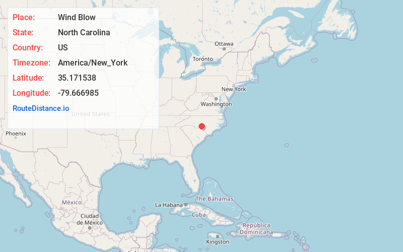
Full AddressWind Blow, NC 28338
-
Coordinates35.1715383, -79.6669854
-
LocationWind Blow , North Carolina , US
-
TimezoneAmerica/New_York
-
Current Local Time3:47:47 AM America/New_YorkWednesday, June 18, 2025
-
Page Views0
About Wind Blow
Windblow is an unincorporated crossroads community on the border of Montgomery and Richmond counties, North Carolina, United States. Located at the intersection of North Carolina Highway 73 and NC State Road 1003, Windblow is an agricultural community.
Nearby Places
Found 10 places within 50 miles

Norman
3.2 mi
5.1 km
Norman, NC
Get directions

Jackson Springs
3.5 mi
5.6 km
Jackson Springs, NC 27281
Get directions

Foxfire
5.4 mi
8.7 km
Foxfire, NC
Get directions
Elberta
8.1 mi
13.0 km
Elberta, Eagle Springs, NC 27242
Get directions

Eagle Springs
8.4 mi
13.5 km
Eagle Springs, NC 27242
Get directions

Ellerbe
8.7 mi
14.0 km
Ellerbe, NC
Get directions
Roseland
9.3 mi
15.0 km
Roseland, NC 28315
Get directions

Seven Lakes
9.4 mi
15.1 km
Seven Lakes, NC
Get directions

Candor
9.6 mi
15.4 km
Candor, NC
Get directions
Taylortown
10.5 mi
16.9 km
Taylortown, NC
Get directions
Location Links
Local Weather
Weather Information
Coming soon!
Location Map
Static map view of Wind Blow, North Carolina
Browse Places by Distance
Places within specific distances from Wind Blow
Short Distances
Long Distances
Click any distance to see all places within that range from Wind Blow. Distances shown in miles (1 mile ≈ 1.61 kilometers).