Distance to Deschutes River, Oregon

Calculating Your Route
Just a moment while we process your request...
Location Information
-
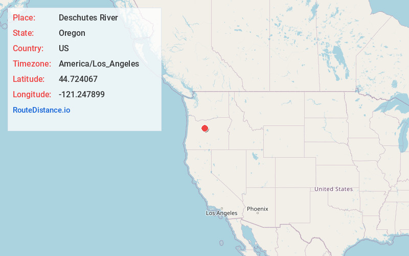
Full AddressDeschutes River, Oregon
-
Coordinates44.7240674, -121.2478991
-
LocationOregon , US
-
TimezoneAmerica/Los_Angeles
-
Current Local Time9:17:06 AM America/Los_AngelesSaturday, May 31, 2025
-
Page Views0


Nearby Places
Found 10 places within 50 miles

Warm Springs
2.9 mi
4.7 km
Warm Springs, OR 97761
Get directions

Madras
8.5 mi
13.7 km
Madras, OR 97741
Get directions

Gateway
9.0 mi
14.5 km
Gateway, OR 97741
Get directions

Metolius
10.1 mi
16.3 km
Metolius, OR 97741
Get directions

Culver
13.8 mi
22.2 km
Culver, OR 97734
Get directions

Willowdale
16.0 mi
25.7 km
Willowdale, OR 97741
Get directions

Simnasho
17.9 mi
28.8 km
Simnasho, OR 97761
Get directions
Geneva
18.7 mi
30.1 km
Geneva, OR 97734
Get directions
Opal City
19.4 mi
31.2 km
Opal City, OR 97734
Get directions
Grizzly
22.5 mi
36.2 km
Grizzly, OR 97741
Get directions
Location Links
Local Weather
Weather Information
Coming soon!
Location Map
Static map view of Deschutes River, Oregon
Browse Places by Distance
Places within specific distances from Deschutes River
Short Distances
Long Distances
Click any distance to see all places within that range from Deschutes River. Distances shown in miles (1 mile ≈ 1.61 kilometers).