Distance to Desert Bell Estates II, Arizona

Calculating Your Route
Just a moment while we process your request...
Location Information
-
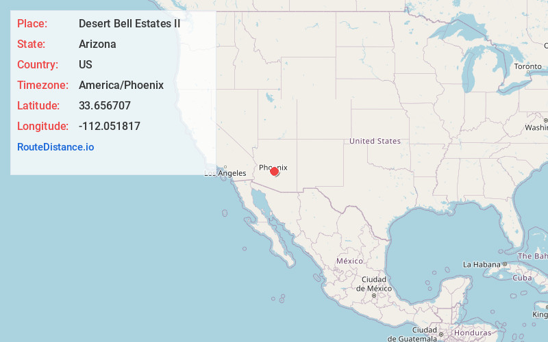
Full AddressDesert Bell Estates II, Phoenix, AZ 85024
-
Coordinates33.6567066, -112.0518165
-
NeighborhoodChaparral Heights
-
LocationPhoenix , Arizona , US
-
TimezoneAmerica/Phoenix
-
Current Local Time12:30:52 AM America/PhoenixMonday, June 2, 2025
-
Page Views0
Nearby Places
Found 10 places within 50 miles

Saddlehorn Ranch
7.9 mi
12.7 km
Saddlehorn Ranch, Glendale, AZ 85308
Get directions
Marlborough Meadows
8.3 mi
13.4 km
Marlborough Meadows, Glendale, AZ 85304
Get directions

Paradise Valley
10.7 mi
17.2 km
Paradise Valley, AZ
Get directions

Glendale
11.2 mi
18.0 km
Glendale, AZ
Get directions

Deer Valley Unified District
11.7 mi
18.8 km
Deer Valley Unified District, AZ
Get directions

Peoria
11.9 mi
19.2 km
Peoria, AZ
Get directions

Sun City
13.3 mi
21.4 km
Sun City, AZ
Get directions
Ironwood Terrace
13.3 mi
21.4 km
Ironwood Terrace, Glendale, AZ 85303
Get directions

Scottsdale
13.5 mi
21.7 km
Scottsdale, AZ
Get directions

Cave Creek
13.5 mi
21.7 km
Cave Creek, AZ
Get directions
Location Links
Local Weather
Weather Information
Coming soon!
Location Map
Static map view of Desert Bell Estates II, Arizona
Browse Places by Distance
Places within specific distances from Desert Bell Estates II
Short Distances
Long Distances
Click any distance to see all places within that range from Desert Bell Estates II. Distances shown in miles (1 mile ≈ 1.61 kilometers).