Distance to Destrehan Plantation, Louisiana

Calculating Your Route
Just a moment while we process your request...
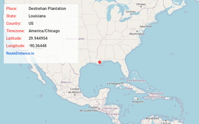
Location Information
-
Full AddressDestrehan Plantation, 13034 River Rd, Destrehan, LA 70047
-
Coordinates29.9449541, -90.36448
-
Street13034 River Rd
-
LocationDestrehan , Louisiana , US
-
TimezoneAmerica/Chicago
-
Current Local Time7:20:41 PM America/ChicagoSaturday, May 31, 2025
-
Website
-
Page Views0
About Destrehan Plantation
Historic plantation home with exhibits, interactive demonstrations & tours from costumed guides.


Nearby Places
Found 10 places within 50 miles

Destrehan
0.8 mi
1.3 km
Destrehan, LA
Get directions

Luling
0.9 mi
1.4 km
Luling, LA
Get directions

Dufresne
1.6 mi
2.6 km
Dufresne, Luling, LA 70070
Get directions
Lone Star
1.9 mi
3.1 km
Lone Star, Luling, LA 70070
Get directions

St Rose
2.5 mi
4.0 km
St Rose, LA
Get directions
New Sarpy
2.7 mi
4.3 km
New Sarpy, LA 70047
Get directions
Mimosa Park
2.7 mi
4.3 km
Mimosa Park, Luling, LA 70070
Get directions
Ellington
2.9 mi
4.7 km
Ellington, Luling, LA 70070
Get directions
Boutte
3.3 mi
5.3 km
Boutte, LA
Get directions

Hahnville
3.4 mi
5.5 km
Hahnville, LA 70057
Get directions
Location Links
Local Weather
Weather Information
Coming soon!
Location Map
Static map view of Destrehan Plantation, Louisiana
Browse Places by Distance
Places within specific distances from Destrehan Plantation
Short Distances
Long Distances
Click any distance to see all places within that range from Destrehan Plantation. Distances shown in miles (1 mile ≈ 1.61 kilometers).