Distance to Lone Star, Louisiana

Calculating Your Route
Just a moment while we process your request...
Location Information
-
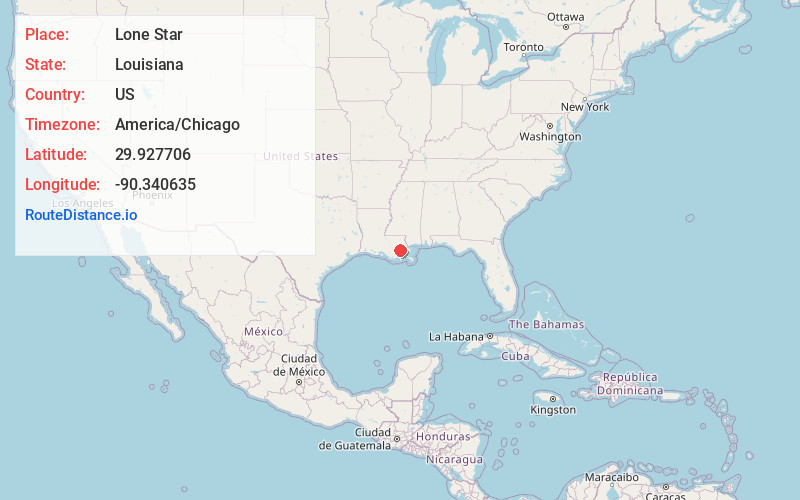
Full AddressLone Star, Luling, LA 70070
-
Coordinates29.9277055, -90.3406354
-
LocationLuling , Louisiana , US
-
TimezoneAmerica/Chicago
-
Current Local Time8:45:14 PM America/ChicagoSaturday, June 21, 2025
-
Page Views0
Nearby Places
Found 10 places within 50 miles

Destrehan
1.2 mi
1.9 km
Destrehan, LA
Get directions

Luling
1.6 mi
2.6 km
Luling, LA
Get directions

St Rose
1.7 mi
2.7 km
St Rose, LA
Get directions

Mimosa Park
1.7 mi
2.7 km
Mimosa Park, Luling, LA 70070
Get directions
Salix
1.9 mi
3.1 km
Salix, Ama, LA 70031
Get directions
Ama
3.1 mi
5.0 km
Ama, LA 70031
Get directions
Dufresne
3.1 mi
5.0 km
Dufresne, Luling, LA 70070
Get directions
Boutte
3.3 mi
5.3 km
Boutte, LA
Get directions
Frellsen
4.2 mi
6.8 km
Frellsen, St Rose, LA 70087
Get directions
New Sarpy
4.5 mi
7.2 km
New Sarpy, LA 70047
Get directions
Location Links
Local Weather
Weather Information
Coming soon!
Location Map
Static map view of Lone Star, Louisiana
Browse Places by Distance
Places within specific distances from Lone Star
Short Distances
Long Distances
Click any distance to see all places within that range from Lone Star. Distances shown in miles (1 mile ≈ 1.61 kilometers).