Distance to Devils Gate, Nevada

Calculating Your Route
Just a moment while we process your request...
Location Information
-
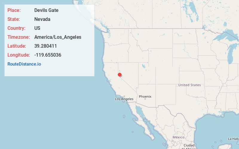
Full AddressDevils Gate, NV 89428
-
Coordinates39.280411, -119.655036
-
LocationDevils Gate , Nevada , US
-
TimezoneAmerica/Los_Angeles
-
Current Local Time5:51:20 AM America/Los_AngelesSunday, May 25, 2025
-
Page Views0
Nearby Places
Found 10 places within 50 miles

Gold Hill
0.7 mi
1.1 km
Gold Hill, NV 89428
Get directions

Silver City
1.4 mi
2.3 km
Silver City, NV
Get directions

Basalt Hill
1.8 mi
2.9 km
Basalt Hill, Nevada 89706
Get directions

Virginia City
2.0 mi
3.2 km
Virginia City, NV 89440
Get directions

Sutro
3.8 mi
6.1 km
Sutro, Dayton, NV 89403
Get directions

Dayton
4.5 mi
7.2 km
Dayton, NV
Get directions

Mound House
4.8 mi
7.7 km
Mound House, NV 89706
Get directions

New Washoe City
6.6 mi
10.6 km
New Washoe City, NV 89704
Get directions
Carson Hot Springs
7.9 mi
12.7 km
Carson Hot Springs, Carson City, NV 89706
Get directions
Pleasant Valley
8.2 mi
13.2 km
Pleasant Valley, NV 89521
Get directions
Location Links
Local Weather
Weather Information
Coming soon!
Location Map
Static map view of Devils Gate, Nevada
Browse Places by Distance
Places within specific distances from Devils Gate
Short Distances
Long Distances
Click any distance to see all places within that range from Devils Gate. Distances shown in miles (1 mile ≈ 1.61 kilometers).