Distance to Dew, Texas

Calculating Your Route
Just a moment while we process your request...
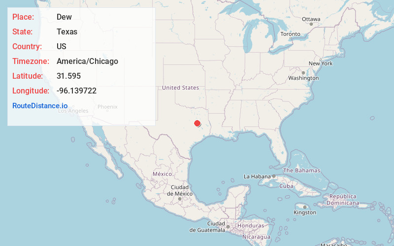
Location Information
-
Full AddressDew, TX 75860
-
Coordinates31.595, -96.139722
-
LocationDew , Texas , US
-
TimezoneAmerica/Chicago
-
Current Local Time12:56:27 AM America/ChicagoSaturday, June 21, 2025
-
Page Views0
About Dew
Dew is an unincorporated community in southern Freestone County, Texas, United States. It is located at the junction of State Highway 75 and Farm to Market Road 489, nine miles south of Fairfield, the county seat.
Nearby Places
Found 10 places within 50 miles

Lanely
4.7 mi
7.6 km
Lanely, TX 75831
Get directions
Turlington
8.5 mi
13.7 km
Turlington, TX 75840
Get directions

Teague
8.8 mi
14.2 km
Teague, TX 75860
Get directions

Fairfield
9.1 mi
14.6 km
Fairfield, TX
Get directions
Donie
9.5 mi
15.3 km
Donie, TX 75838
Get directions

Buffalo
10.3 mi
16.6 km
Buffalo, TX 75831
Get directions
Ward Prairie
11.6 mi
18.7 km
Ward Prairie, TX 75840
Get directions
Personville
12.9 mi
20.8 km
Personville, TX 76642
Get directions
Butler
13.6 mi
21.9 km
Butler, TX 75840
Get directions

Jewett
16.2 mi
26.1 km
Jewett, TX 75846
Get directions
Location Links
Local Weather
Weather Information
Coming soon!
Location Map
Static map view of Dew, Texas
Browse Places by Distance
Places within specific distances from Dew
Short Distances
Long Distances
Click any distance to see all places within that range from Dew. Distances shown in miles (1 mile ≈ 1.61 kilometers).