Distance to Diamond, Oregon

Calculating Your Route
Just a moment while we process your request...
Location Information
-
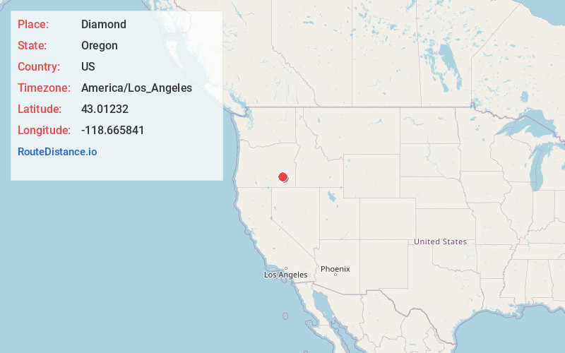
Full AddressDiamond, OR 97722
-
Coordinates43.0123203, -118.6658412
-
LocationDiamond , Oregon , US
-
TimezoneAmerica/Los_Angeles
-
Current Local Time10:12:59 PM America/Los_AngelesSaturday, June 21, 2025
-
Page Views0
About Diamond
Diamond is an unincorporated community in Harney County, Oregon, United States. Diamond is west of Oregon Route 205 and south of Malheur Lake, 52 miles south-southeast of Burns by highway. Its post office is assigned ZIP code 97722.
Nearby Places
Found 9 places within 50 miles

Crane
28.3 mi
45.5 km
Crane, OR
Get directions
Venator
29.5 mi
47.5 km
Venator, OR 97732
Get directions
Lawen
30.5 mi
49.1 km
Lawen, OR 97721
Get directions
Andrews
38.0 mi
61.2 km
Andrews, OR 97721
Get directions

Crowley
43.5 mi
70.0 km
Crowley, OR 97906
Get directions

Hines
43.5 mi
70.0 km
Hines, OR
Get directions
Buchanan
43.6 mi
70.2 km
Buchanan, OR 97720
Get directions

Burns
44.2 mi
71.1 km
Burns, OR 97720
Get directions

Riverside
44.6 mi
71.8 km
Riverside, OR 97917
Get directions
Location Links
Local Weather
Weather Information
Coming soon!
Location Map
Static map view of Diamond, Oregon
Browse Places by Distance
Places within specific distances from Diamond
Short Distances
Long Distances
Click any distance to see all places within that range from Diamond. Distances shown in miles (1 mile ≈ 1.61 kilometers).