Distance to Dixie Union, Georgia

Calculating Your Route
Just a moment while we process your request...
Location Information
-
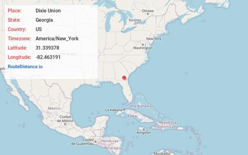
Full AddressDixie Union, GA 31503
-
Coordinates31.3393777, -82.4631908
-
LocationDixie Union , Georgia , US
-
TimezoneAmerica/New_York
-
Current Local Time5:27:34 PM America/New_YorkWednesday, June 18, 2025
-
Page Views0
About Dixie Union
Dixie Union is an unincorporated community and census-designated place in Ware County, Georgia, United States. It lies north of Waycross on U.S. Route 1 and 23. The community is part of the Waycross Micropolitan Statistical Area.
The 2020 census listed a population of 184.
Nearby Places
Found 10 places within 50 miles

Waresboro
6.3 mi
10.1 km
Waresboro, GA 31503
Get directions
Deenwood
8.3 mi
13.4 km
Deenwood, GA
Get directions

Waycross
10.8 mi
17.4 km
Waycross, GA
Get directions
Millwood
12.7 mi
20.4 km
Millwood, GA 31552
Get directions

Blackshear
13.3 mi
21.4 km
Blackshear, GA 31516
Get directions

Alma
13.8 mi
22.2 km
Alma, GA 31510
Get directions
Rockingham
14.7 mi
23.7 km
Rockingham, GA 31510
Get directions
Nicholls
15.9 mi
25.6 km
Nicholls, GA 31554
Get directions

Bristol
16.5 mi
26.6 km
Bristol, GA
Get directions
Axson
16.6 mi
26.7 km
Axson, GA 31624
Get directions
Location Links
Local Weather
Weather Information
Coming soon!
Location Map
Static map view of Dixie Union, Georgia
Browse Places by Distance
Places within specific distances from Dixie Union
Short Distances
Long Distances
Click any distance to see all places within that range from Dixie Union. Distances shown in miles (1 mile ≈ 1.61 kilometers).